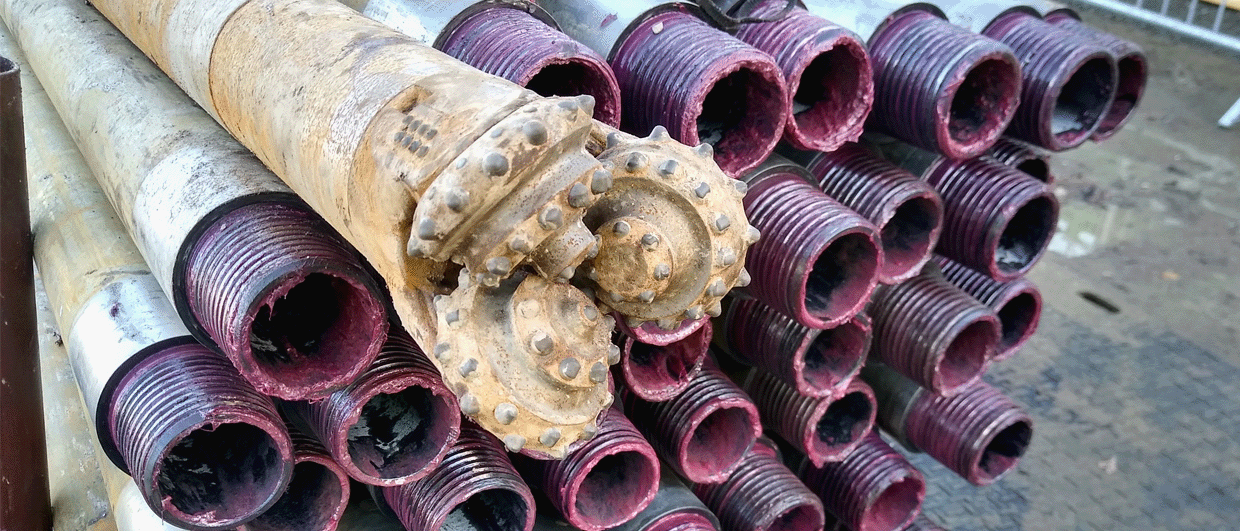
Drill pipes used at a shallow geothermal project in the UK. Photo: Henk Kombrink
Groundwater flow – a potential cost-saver for shallow geothermal loops
A regional study in Japan shows how thermal conductivity caused by the transfer of heat through moving groundwater can help optimise the depth of shallow geothermal systems.
The energy transition is all about pipes. Where a single gas well was sufficient to deliver energy to power an entire city until recently, closed-loop geothermal boreholes are now increasingly drilled for individual houses, requiring many kilometers of pipe.
In order to massively roll out the installation of these shallow geothermal loops in the most cost-efficient way, it is very much worth investigating the depth at which to terminate drilling, provided that sufficient energy can be withdrawn. In turn, that requires a level of understanding of the subsurface and its temperature gradients. But there is more, as a study recently published in the journal Geothermics has shown.
Carried out by a team from Japan, the researchers show that besides different lithologies and associated thermal conductivities, groundwater flow is an important factor at play in the realm of the first couple of hundred meters. As they state in the introduction of the article: “Groundwater flowing in the shallow subsurface layers can induce advection, which has a significant impact on subsurface temperature distribution.”
Groundwater flow has a positive influence on the performance of shallow closed-loop systems through the redistribution of energy in the subsurface.
In short, groundwater flow has a positive influence on the performance of shallow closed-loop systems through the redistribution of energy in the subsurface and as a result, areas with higher groundwater flow will require shallower closed-loop boreholes than ones in areas where groundwater flow is not as high.
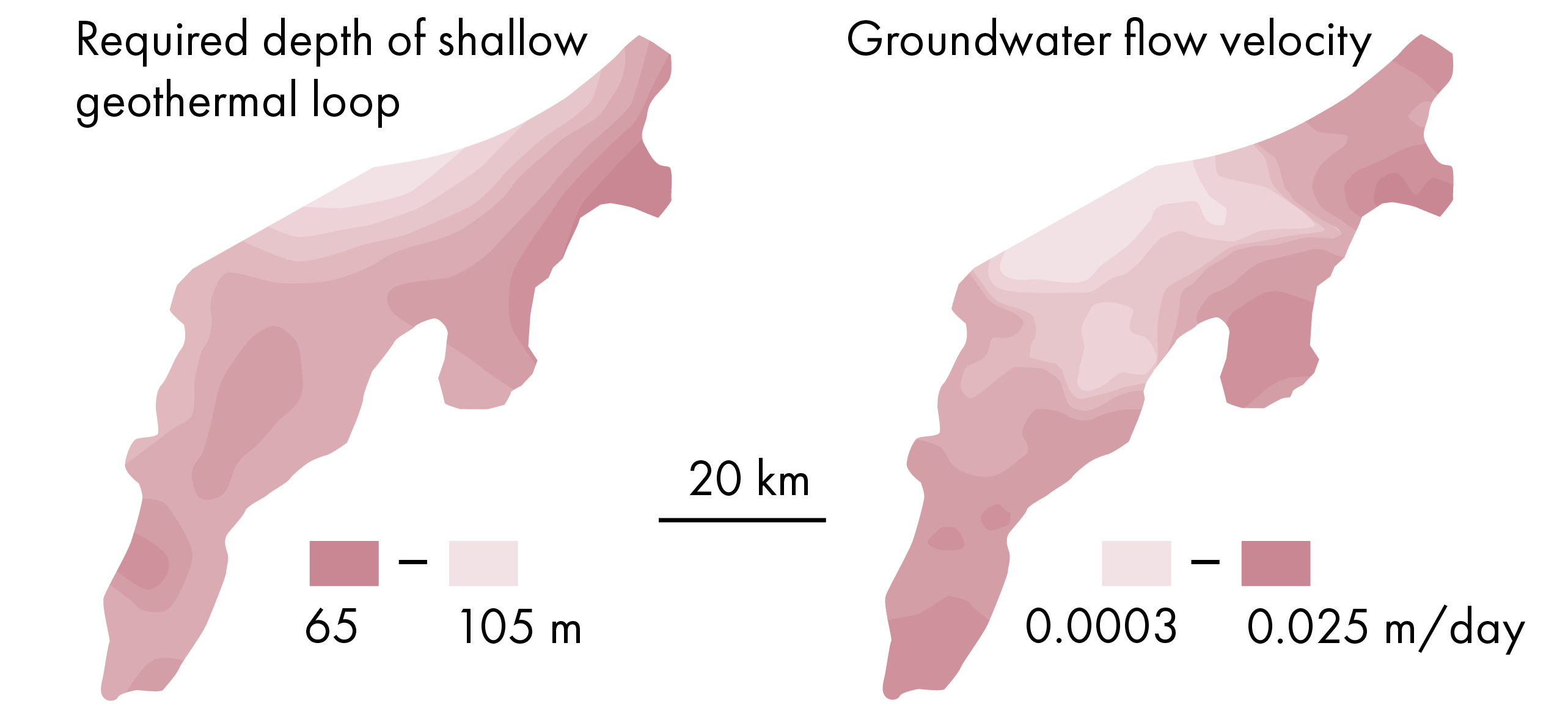
In order to further quantify this, the authors looked at the Echigo plain in Japan, which is characterised by a thick succession of Quaternary sands, gravels and fines that extend from the mountains in the east to the coastal plain in the west.
In areas where the Darcy velocity of the groundwater is low, the required lengths of the geothermal loop are longer than in areas where a higher velocity is observed, with lengths varying from 65 to 105 m.
For an individual loop, the cost gain of not having to drill to 100 m but to 70-85 m instead may not be huge, but when this technology is implemented on a large scale there is surely a benefit of having a better idea on what the minimum length is and savings will then add up.
The study also demonstrates the genuine benefit of performing regional studies covering entire basins in order to map out how groundwater flow is distributed across wider areas. Only a regional approach will shed more light on this.
How to explain the regional difference in groundwater flow velocity?
The authors of the article explain the lower groundwater velocity areas near the coastline by the increased clay content of the Quaternary sediments when moving from the mountains in the east towards the coastal plain. In addition, there may also be a topographical element in the mix, with groundwater tables showing more of a gradient in the hills and mountains in the east compared to the coastal plain in the west.