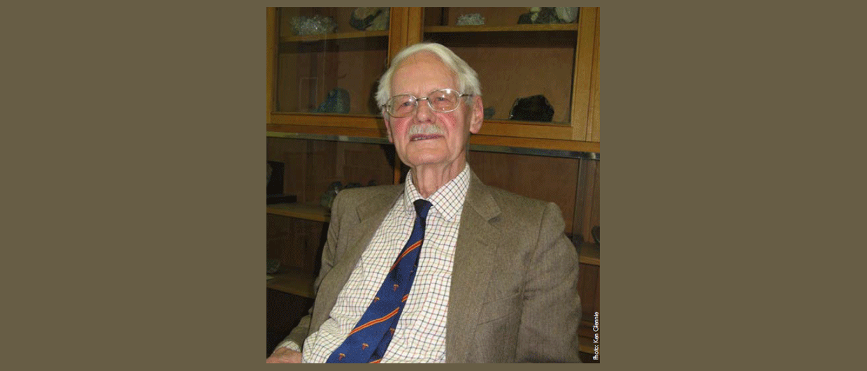
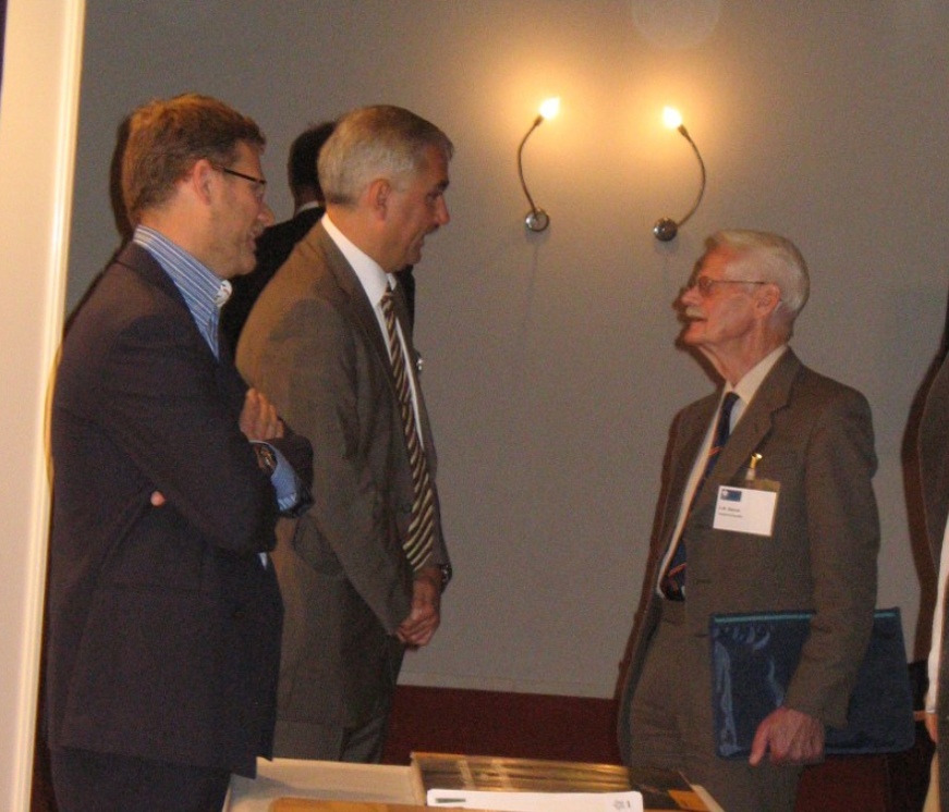
Professor Ken Glennie is an expert on desert environments, the Arabian Peninsula and the petroleum geology of the North Sea, and the proud recipient of many prestigious awards, medals and honours from the world’s geological societies.
Ken Glennie – A Petroleum Pioneer
Professor Ken Glennie has spent a lifetime at the forefront of the oil industry. His achievements range from producing some of the first maps of turbidites in the field, to being contributor and editor of the seminal work on the North Sea. He talks to GeoExpro about his exciting, productive and very full career.
Ken Glennie, Honorary Professor of Geology at Aberdeen University and renowned author of three books, several co-edited publications and over 50 single-author and co-authored papers, has led the sort of working life many student geologists dream about. Much of it has been spent wandering around the mountains and deserts of the world, geological hammer in hand, making maps. And, at the age of 82, he is still working at and thinking about geology as much as ever.
Despite being keen on geography, Ken studied engineering when he left school. “The war was still on, and we had no idea when it would end,” he explains. “The army signed me up for a 21 month Engineering Cadetship, and I served just post-war in Libya and Egypt, giving me my first formative sighting of a desert – very useful in my later work.”
Ken left the army to study Geology at the University of Edinburgh in 1949. “I had got hooked on geology after reading a couple of books on the subject at school. I loved the whole idea of geology, especially the processes which make things happen. I’m essentially a sedimentologist, with a particular interest in structural development and the ensuing sedimentary processes – very important when exploring for hydrocarbons.”
“Oil Just Happened”
His degree was followed by a Shell-funded M.Sc. in 1953, the start of his long connection with the company, which he joined the following year. “It seems strange now, but back then we had no idea where oil came from. Oil was where you found it – it just happened. Then someone came up with the idea of source rocks, and one of my first jobs took me on a tour of England, Scotland, Germany and Austria, looking for organic-rich rocks which could be potential sources. We didn’t even know the sources for North Sea hydrocarbons until Shell drilled a particularly long core in 1976 and identified the Upper Jurassic Kimmeridge shales.”
“In the late 50’s I spent three years in New Zealand, mapping the Taranaki area of North Island,” Ken continues. “This was in the days before plate tectonics had been elucidated, although the idea of continental drift had been acknowledged. My first intimation of the amazing processes which may have been at work came when I was looking at the north-west coast of North Island and realised that terrigenous sediments were coming in from the sea – but from what land mass?”
We had no idea where oil came from
“Another new concept I was introduced to in New Zealand was that of turbidites*,” Ken continues. “At the time even the Geological Survey didn’t recognise the existence of these features, one person claiming that what I had identified as turbidites were caused by cyclical changes in sea level. My work in New Zealand resulted in the earliest mapping of turbidites in the country. Shell encouraged me to write my first scientific paper on them, which was published in 1959 – my introduction to palaeogeography.
Helicopters and Grizzly Bears
Ken also came across turbidites in his next posting in 1959, leading a team mapping the Mackenzie Delta and North West Territories in the Canadian Arctic. “There were no maps, so we used photogeology – and helicopters. We interpreted as much of the geology as we could from aerial photographs, and to calibrate it and explain anything unclear we studied it in the field. In the three month season before the ice started forming again we managed to check the geology of 40,000 square kilometres, much of which was covered in muskeg. Obviously, we concentrated on sedimentary rocks and in particular anything which could have hydrocarbon significance, and I was very excited to find both Devonian and Cretaceous turbidites, locally one above the other, separated by 50 feet of massive sandstones.”
The following two summers Ken also spent in North America, mapping first in the Canadian Rockies and then in the Yukon, again using photogeology calibrated by helicopter landings and key measured sections. When it is suggested that this technique may have exposed him to a certain amount of personal danger, Ken laughed. “Well, we sometimes made as many as 20 landings in a day, which was very tiring for the pilot, but on one occasion we were just coming into land when one of the rotor blades came off and tore through the fuel tanks, setting them on fire. Luckily, we were only 6 inches from the ground – but the speed at which the pilot and I ran from that helicopter would have put Jesse Owens to shame! I vividly remember another occasion in the Yukon, when I needed to check the lithology and age of an isolated ridge. From the air I had spotted a Grizzly bear and her two nearly fully grown cubs on the other side, so before starting work I climbed the ridge to check their whereabouts – and came face to face with mama bear. Fortunately, she must have decided I didn’t pose any threat as, after one look at me, she wandered off.”
New Challenge – Desert Expert
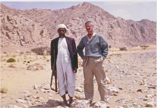
Returning to The Hague in 1963, expecting to work in turbidite research, Ken was surprised to find a new challenge awaiting him. “I was told that I was now going to be Shell’s desert expert, so I’d better learn fast! The true extent of the Groningen field was only just being understood, and the reservoir was the previously neglected Rotliegend red beds, which were of desert origin. Very little was known about sedimentary processes in this environment, so off I went to study them.” Ken’s travels took him first in Libya, followed by India, the Trucial States (now known as the United Arab Emirates) and Oman, culminating in 1970 in his book ‘Desert Sedimentary Environments’, which is still a classic on the subject.
Father of Oman Geology
During the late 1960’s Ken also spent two years leading a team geologically mapping the Oman Mountains. “Fascinating work – the Oman Mountains contain the largest and best exposed ophiolites (tectonically emplaced former oceanic crust now overlying former continental shelf) in the world. Initially, we worked on the ground from Land Rovers, slowly traversing the mountains. At the end of the first season (we stopped field work when the rocks were too hot to touch by 10 in the morning!), I went back to Shell and suggested that at the rate we were going it would take another 4 or 5 years to complete, but if they gave me a helicopter, we’d map the whole area within six months. They agreed, the maps were completed on time, published with text and illustrations by the Geological Society of The Netherlands in 1974 and are still being used in Oman today.”
Ken’s connection with Oman did not end with these maps. Since being pensioned, he has maintained close ties with Petroleum Development Oman, and over the years has returned a number of times to the country, running field trips, giving a few lectures and supervising Ph.D. students. In 1995 he published a simple book on The Geology of the Oman Mountains (2nd edition 2005), which newcomers to Oman have appreciated. He is one of only four lifetime Honorary Members of the Geological Society of Oman, where, much to his amusement, he was introduced as “King of the Wahiba Sands and Father of Oman Geology!”
North Sea Expert
In spite of this illustrious overseas career, for many people Ken’s name is irrevocably linked nearer home, as the editor of ‘Petroleum Geology of the North Sea’, which was first published in 1984 and is now in its 4th edition. He was appointed Team Leader Southern North Sea in 1972, and continued working in this geographical area for most of his remaining professional career with Shell. With the first discoveries in the southern North Sea having been made less than 10 years previously, understanding of the geology and systems at work was very limited. “Through JAPEC (Joint Association for Petroleum Exploration Courses) I helped run a number of industry courses in the 80’s and 90’, outlining the concepts and most recent developments in the North Sea,” Ken explains. “By the mid-80’s our course notes had developed to such an extent that we published them as a book, which I edited and to which I contributed a couple of chapters. Our course notes continued to expand annually as more discoveries were made, eventually resulting in a new published edition every few years, the last in 1998.”
Another of Ken’s many claims to fame is that in 1986 he helped organise the 1st Congress on the Petroleum Geology of North West Europe, co-editing the 1987 proceedings – very topical as the 7th of this series of important conferences is now underway. He joined the team of the ground-breaking ‘Millennium Atlas of the Northern North Sea’ in 1998, leading the Permian chapter, and was also an AAPG Distinguished Lecturer in 1971.
Busy Retirement
Ken Glennie officially retired from Shell in 1985, but just reading a list of his activities since then would make many a younger person wilt with exhaustion! He has participated in field trips all over the Arabian Peninsula, as well as in India and China. He lectures on North Sea geology to the MSc class in Petroleum Geology at the University of Aberdeen, and on other topics elsewhere, appears at industry conferences, and is a prolific author, co-writing his most recent paper with Andrew Hurst (see GEO ExPro 2007, no. 6 p. 34) in 2008.
“Although my output seems to have an academic bent, I never wanted an academic career,” he says. “There is a danger in academe of going round in circles, achieving little; I need the inspiration of having something dumped in my lap by an oil company, requiring an urgent answer, or being asked to present a paper at a conference.”
Ken has been the recipient of many awards, including the prestigious Major John Coke Medal (1986), Silver Medal of the Petroleum Group (2000) and the William Smith Medal (2001) from the Geological Society of London, the Alfred Wegener Medal (2000) from the EAPG, and the Van Waterschoot van der Gracht Medal (1999) from the Geological and Mining Society of the Netherlands. He is also an honorary life member of several institutions, including the AAPG, which gave him the Sidney Powers Memorial Award in 2005). In addition to all this, when he is at home in the village of Ballater in the Scottish Highlands, Ken can be found walking the hills, explaining the geology to his friends, or strolling the mile or so to the village shops.
A Modern Petroleum Geologist?
So what does Ken think makes a good petroleum geologist? “Obviously, you must have a great interest in rocks and in the Earth as you see it around you. You need to want to know why we have basins and faults and mountains. Nowadays, you also need an understanding of physics, for all the geophysics and well analysis a geologist needs to do. It’s an ever changing industry. I wouldn’t be any use in a modern oil company,” he adds, with characteristic modesty. “I’d be lost in all that seismic and log interpretation.”
And with that, this impressive and inspiring octogenarian went off to prepare for his next adventure – helping Oman TV to make a documentary film on the Geology of Oman.