Understanding electro-magnetic surveys
Electromagnetic surveying is one of the least well understood of the non-seismic exploration techniques. There are various acquisition choices to be made – for example it can be undertaken using both horizontal and vertical transmitters/receivers. To understand the physics it pays off to use an analogy with heat waves.
While electromagnetic methods for marine exploration have been extensively studied academically for at least three decades, they have only had a commercial impact over the last decade. These methods are known under names such as Controlled Source Electro Magnetic (CSEM) surveys, Sea Bed Logging (SBL) and Remote Reservoir Resistivity Mapping. Compared to the overwhelmingly mature seismic technology, electromagnetic (EM) methods are clearly in their infancy. They are also to a large extent complimentary to seismic, as they detect contrasts in electrical conductivity whereas seismic methods detect contrasts in acoustic impedance, largely through sound velocity.
What makes it possible to use EM methods for hydrocarbon exploration is that oil and gas have significantly lower electrical conductivity than salt water, so that a porous rock that is saturated with hydrocarbons will have a smaller conductivity (or greater resistance, hence the use of resistivity logs in well logging) than one that is saturated with salt water. The contrast could be as much as a factor of 100. So, when a transmitter (the controlled source) produces an electric current through the sea floor, the response measured at some other position will be affected if hydrocarbons are present.
The response that the underground gives may be calculated by the well known Maxwell’s equations, and these calculations are needed to draw conclusions about the underground resistivity profile.
Analogy with heat flow
 The traditional horizontal CSEM technique, illustrating how the electromagnetic information is propagated. Both transmitter cable and receiver antennae are horizontal. The airwave is the part of the signal that passes directly through the air. The color scale (strong field is red, weak field is blue) shows the actual horizontal field in response to an oscillating 0.25 Hz transmitter signal and a reservoir which is shown as a black box. Illustration: PetroMarkerThe physics of the electromagnetic signal is very different from that of a seismic signal that propagates as a wave.
While it is certainly true that electromagnetic waves exist everywhere (e.g. light, radar, and radio waves), the ones created in a marine survey disappear in a microsecond or less, and they carry very little energy. The signal that is left is governed by electromagnetic induction, and this signal evolves by diffusion, which is a much slower process. In fact, within a homogeneous layer, each component of the electric current density evolves by exactly the same mathematical description as temperature variations, i.e. by the so-called diffusion equation.
This means that it is possible to comprehend the behavior of EM signals in terms of how heat flows. In order to understand how the electric current density develops in response to a transmitter signal, you therefore only need some intuition as to how temperature differences tend to spread out.
The only difference is that thermal diffusivity is proportional to thermal conductivity, while the electromagnetic diffusivity is proportional to the inverse electrical conductivity. This means that the electromagnetic field relaxes more quickly when electrical conductivity decreases, while the opposite is true for the temperature field when the thermal conductivity decreases.
An oil or gas reservoir that has high electrical resistivity would thus correspond to a substance with a high thermal conductivity in the heat analogy.
A CSEM survey could be compared to someone looking for a layer of metal (metal has a large thermal conductivity) below a basement floor by heating the floor at one position and then measuring the temperature response at another position. Since modern EM receivers actually measure averaged voltages below 10 nV we are allowed to assume that he is using a very sensitive thermometer.
A signal in terms of a temperature variation will spread out diffusively, eventually hit the target and then propagate back to the receiver. Again, this does not happen like a seismic wave, which essentially comes back with a well pronounced echo in a time that is proportional to the distance traveled by the wave. In stead, a temperature (or electric current) signal spreads out diffusively, becoming increasingly smoothed out with time, and also takes a time that varies quadratically with distance to bring the information back, meaning that the interpretation of this signal is highly dependent on proper modeling. Nevertheless, EM signals are invertible, so an underground conductivity profile may be determined, given enough measurement points and a sufficient signal to noise ratio. Inversion is the technical process that makes it possible to infer the location of hydrocarbons from the measurements of the electric field.
Strictly speaking, in a layered model of the earth the analogy between horizontal electric current components and temperature fields holds only within each layer, since the boundary conditions between layers differ. However, the analogy between the vertical current component and temperature holds perfectly, since the boundary conditions are the same for vertical current and temperature. The fact that the vertical current component vanishes at the sea surface may correspond to having a zero temperature there.
Two competing systems
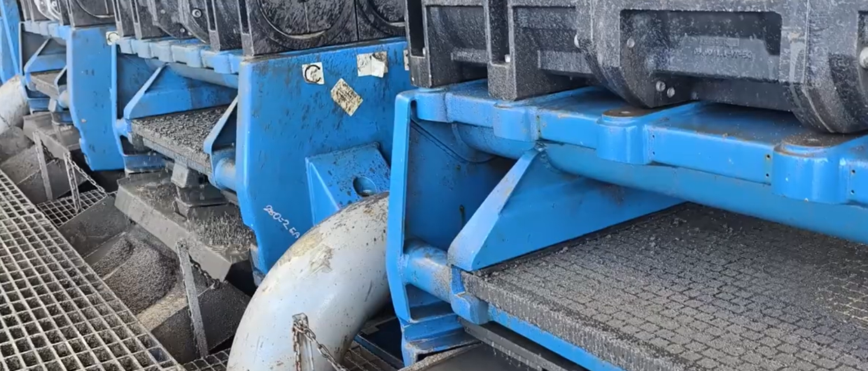
 10 meter tall vertical tripod antennae to be placed on the sea bottom.
 TEMP-VEL gear: Deployment of a transmitter electrode.
 An overview of the Petromarker technology (not to scale), only one pulse system is shown. The upper and lower pulse electrodes form the vertical transmitter dipole, and the return current goes both through the sea and the bottom To the left on the sea bottom the tripod is shown, and to the right, an older flexible cable receiver. The pulse electrodes are directly on top of each other. The color scale in the bottom part represents the vertical electric field shortly before the current is turned off in the presence of a hydrocarbon filled reservoir (yellow rectangle). Red corresponds to a strong field, blue to weak one. Illustration: PetroMarkerThe actual technological designs used for CSEM surveys vary greatly. Broadly speaking they include either horizontal or vertical transmitters or receivers, and they use a continuous, periodic signal (frequency domain) or one that is turned off (time domain).
Horizontal systems
The most common method, notably applied by companies such as EMGS, Western Geco and OHM, employs a horizontal current transmitter dipole that is towed at a certain height above the sea floor, along with horizontal receivers that are dropped to the bottom before the transmitter is towed across. This method was termed Sea Bed Logging (Ellingsrud et al. 2002) when introduced by EMGS.
The signal generated by the transmitter is periodic with one – or a few – given frequencies. This signal then corresponds to a heat source that alternates between hot and cold. The corresponding temperature response will clearly oscillate too, but with an amplitude that decreases quickly with depth. Below some characteristic depth, known as the skin depth, the variations will be negligible.
The important point is that the skin depth varies with the diffusivity, so that when the diffusivity is large, the skin depth is large too, and vice versa. In fact, we could just as well have used the name skin length since there is no particular difference between horizontal and vertical diffusion.
The key observation is that the skin depth is smaller in the air above the basement floor than in the floor, so that at sufficient transmitter-receiver separations, only the floor signal survives. Correspondingly, the skin depth in the sea bed is larger than in the sea, so the signal that passes through the sea bed will dominate over that in the sea. If there is a metal plate buried in the floor, clearly the heat will be transmitted more efficiently, and the measured temperature oscillations will be larger with than without the metal. Below the sea the reservoir will act as a guide that allows the signal through more strongly.
Vertical systems
Sea Bed Logging relies on relatively large transmitter-receiver separations and the measured signals therefore correspond to averages over relatively large areas. A newer method that offers higher spatial resolution is known as TEMP-VEL (Transient ElectroMagnetic Prospecting using Vertical Electric Lines). This is the method (see Holten et al. 2009 for a recent review) applied by PetroMarker, a Norwegian based service company that was founded in 2005 for the purpose of applying the time domain vertical-transmitter-vertical-receiver technique.
The method corresponds to heating the floor at a fixed position for a relatively long time, then shutting off the heat source and measuring the temperature response at a nearby position. Since the vertical current is measured, the corresponding temperature has a zero boundary condition at the location that corresponds to the sea level, and it will decay more quickly. This means that at the time when the diffusive signal has returned from the metal, the heat that was in the air has been absorbed at the top boundary, and the remaining signal will be strongly affected by the presence of the metal. This accounts for the sensitivity of the method.
When the system is just left to relax, the metal will conduct the heat away, allowing the temperature field to decay more quickly, and the measured temperature signal will therefore become smaller because of the metal. On the other hand, when the system is continuously heated and cooled, the metal will cause the signal to pass through to the receiver more easily, and the resulting temperature amplitude will increase due to the metal. Correspondingly, the current amplitude in an SBL survey will be increased by the presence of hydrocarbons.
While TEMP-VEL may offer higher spatial resolution because of the small transmitter-receiver offset (typically 750 m), the resulting late time signal is quite weak, and obtaining the required signal to noise ratio may be challenging. On the other hand, the vertical receivers measure only the current that passes through the sea floor, and not a major component that passes directly through the sea. So the actual signal in a vertical setup, though weak, carries more relevant information on the geological structure than in a horizontal setup. In measurements this is seen as a larger relative contrast between the responses with and without a hydrocarbon reservoir. Another fact that improves the sensitivity of these measurements is that the vertical field is zero right under the sea surface, and this means that no noise in this field can pass from the atmosphere to the sea.
The importance of geological knowledge
Current EM technology relies on signal interpretations and will identify hydrocarbons with some probability, not with certainty. For this reason a main application of the technology is reducing, rather than eliminating, the risk of drilling dry wells.
All EM techniques will benefit from the complimentary use of seismic methods. Using the thermal analogy, we may say that it is much easier to determine the amount of metal if its depth is known independently. Correspondingly, knowledge of geological structures based on seismic surveying will make it much easier to do inversion and interpret the exact response from the EM signal.
In general, therefore, EM methods will function much better in combination with independent information. So, as a tool for practical exploration, EM methods will mainly be used in conjunction with data acquired from seismic or well logs. Apart from being a complimentary exploration tool, its application may include edge-detection in proven reservoirs as well as monitoring production. The identification of potential CO2 storage sites may also be feasible.
In the context of exploration, EM data will only be obtained when feasibility studies, carried out before the data acquisition, are favorable. Typically, such feasibility studies start from a hypothetical geological model of the reservoir based on seismic or other data. A forward modeling calculation is then carried out on the basis of this model. A realistic amount of noise is added to the resulting EM fields before an inversion algorithm is applied. Such back-and-forth calculations will determine if the reservoir is detectable.
The EM methods appear to be quite harmless to the environment, and, compared to seismic surveying, highly local. Within only a meter of the transmission electrodes in the TEMP-VEL system, the electric field is only 25 V/m, and 10 meters off it has dropped to a harmless 1V/m. At this distance the magnetic field created by the transmission cables is comparable to the background magnetic field of the earth.
References
Ellingsrud, S., Eidesmo, T., Johansen S., Sinha, M.C., MacGregor L.M., and Constable S., 2002 Remote sensing of hydrocarbon layers by seabed logging (SBL): Results from a cruise offshore Angola. The Leading Edge 21(10), 972-982.
Holten, T., Flekkøy, E.G., Singer, B., Bixt, E.M., Hanssen, A., Måløy, K.J., 2009 Vertical Source, Vertical Receiver electromagnetic technique for offshore hydrocarbon exploration: First Break 27 p. 89-93.