Shooting Seismic in Linked Circles
“Coil shooting” is a cost-effective technique towards better imaging over small to medium sized exploration areas. Encouraging results may lead to a rapid increase in the next 5+ years.
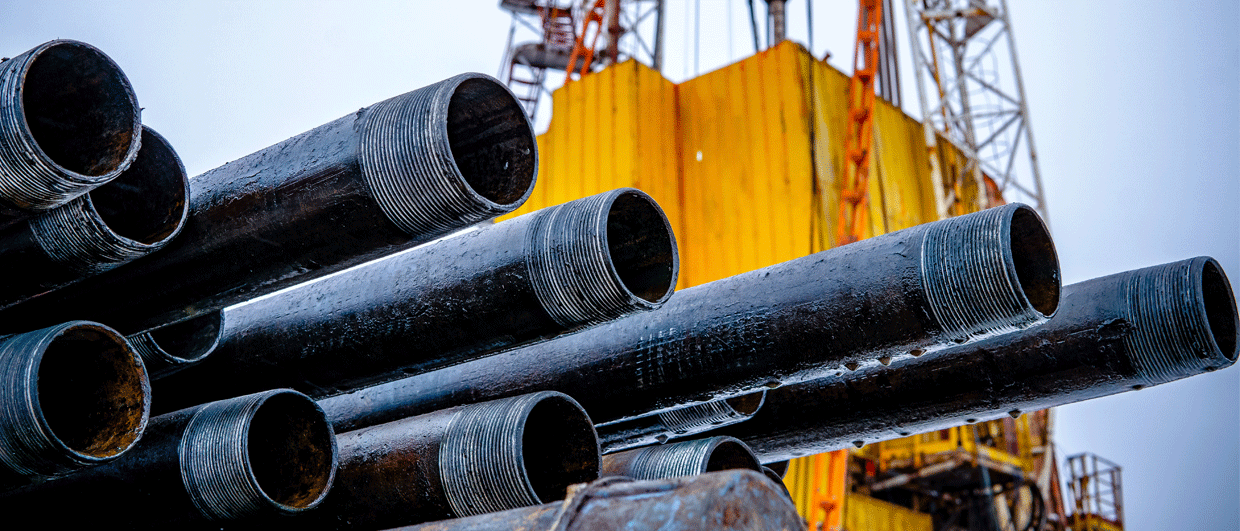
Seismic acquisition and seismic imaging are inextricably linked. “Coil shooting” is a new single-vessel method developed by WesternGeco for acquiring seismic data over a wide range of azimuths to improve imaging of complex geology. The technique has received recognition for its innovation by winning the 2008 Best Exploration Technology Award. By steering the seismic cables, typically 10 in number, in large continuously linked circles, 5-7 km in radius, full-azimuth data can effectively be acquired “non-stop”.
The first test
 The Heidrun coil shooting data were acquired as a set of 18 intersecting circles in a “dahlia” pattern. The coils are slightly irregular to avoid surface obstructions. The colour-coded fold (number of traces within bins) is highest in the center of the survey (square 2.6 km x 2.6 km area) and where circles intersect.The seismic industry performed early trials of circular acquisition geometries during the 1980’s. Bill French’s idea of a circular seismic shooting pattern for improved imaging of circular shaped salt dome flanks and associated faulting was tested with streamer data acquisition in the Gulf of Mexico and in the North Sea.
Also, when 3D VSP surveys bloomed in the late 1980’s, some of these used a circular shooting pattern. Examples are the survey acquired by Agip and Schlumberger in 1986, and the circular 3D VSP survey acquired by Norsk Hydro in 1995 over the Oseberg Field. The reason that the seismic industry tested circular acquisition geometries early on was to acquire a wide range of azimuths in order to better map and characterize the subsurface.
Why then did circle shooting surveys not flourish in the late 1980’s? Why should it kick off now? There are several explanations why circular shooting was abandoned. First, the marine acquisition technologies used in the 1980’s did not allow for accurate streamer positioning and steering. Secondly, the processing knowledge for this kind of data was limited.
However, in 2006 WesternGeco, based on their Q-marine technology, realised that it was now possible to make circular surveys a practical option for 3D full-azimuth acquisition. Steering devices, such as Q-Fin could be used to control the position of the streamers, making it possible to maintain constant streamer separation while the vessel sailed a circular trajectory. At the same time, the receiver positions could be accurately measured.
The first field test of the coil shooting technique was performed during 2007 in the Gulf of Mexico. The first commercial survey using circle shooting was acquired for Eni in July 2008 on the Tulip project offshore Indonesia. The 563 km2 survey, using with 8 streamers, each 6 km long, separated by 100 m, was completed in 49 days.
Black Sea field test
 Comparison between conventional streamer (left) and coil shooting test (right) results from the Kozlu field in the Black Sea. The top shallow sections show that coil shooting leads to improved imaging of faults. The bottom sections show that the coil geometry gives more detail at the top and base of the reservoir. Courtesy: WesternGecoThe second coil shooting field test took place in December 2007 in the deep-water Kozlu area of the Black Sea over acreage held by the Turkish National Oil Company (TPAO). Here, severe imaging challenges are related to complex geology, including potential reservoirs in sequence of limestone reefs and shales at depths of 3.5-4 km, overlying volcanic structures. The time available for the field test was only four days, so to achieve seismic coverage over a small, high-fold area, the vessel followed an innovative pattern, similar to the edges of the petals of a flower such as a dahlia. The survey comprised nine circular coils rotated about a fixed point, delivering a seismic imaging area of 2km x 5km. The Kozlu coil shooting test compared favourably with imaging of data from a large conventional streamer exploration survey in 2006 (see Figure 3).
Norwegian Sea survey
 The steering devices (yellow birds) used to control both depth and lateral position of the streamer. Photoes: WesternGecoIn Norway, StatoilHydro and WesternGeco conducted an extensive collaborative full-azimuth survey design and modeling project to evaluate multiple wide-azimuth (WAZ) configurations including coil shooting. The modeling study concluded that not only was coil shooting a more effective strategy than traditional wide azimuth (WAZ) acquisition, it also gave better imaging results for the complex and heavily faulted Heidrun field, located in 350 m water depth in the Norwegian Sea.
To validate the conclusions of the modeling exercise, in September 2008 StatoilHydro R&D commissioned a survey approximating a ‘dahlia’ pattern with 18 intersecting coils This geometry provided full azimuth, high fold data over a 2.6 km x 2.6 km target area, plus sufficient surrounding aperture to provide 3D migrated sections that can be compared with previously acquired conventional seismic data.
The Heidrun survey was completed over a 4 day period, with a coil radius of 5.6 km, and 10 streamers, each 4.5 km long, separated by 75 m.
At the time of writing, data are still being processed. Preliminary results indicate that there is little remnant noise and multiple energy left in the coil shooting data, giving rise to clear images. Further, the coil shooting sections show improved fault definition in the reservoir section, compared to the conventional survey data. In addition, the flanks of the structure are well imaged. Thus, the coil shooting design holds the potential for improved seismic imaging in the Norwegian Sea (Houbiers and Thompson 2009).
Acquisition duration for surveys
The single vessel coil survey technique is particularly attractive for collecting small to medium-sized 3D full-azimuth datasets. For larger surveys, like those that are now taking place in the highly active Gulf of Mexico area, using multiple vessels may be a more cost-effective option. Typically, a coil shooting survey over a 500 km2 area will take around 50 days, over a 1500 km2 area around 75 days, and over a 5000 km2 area around 225 days.
Increased noise level caused by steering the streamers in circles?
One could expect that the noise level would increase when towing the streamers in a circular trajectory. However, although in practice some extra noise is seen, this is mostly attributed to cross-currents in the sea, and not to the curvature of the streamers. The steering devices will of course introduce some additional noise, but this is local and impacts only the receivers close to the device. Therefore, this effect is negligible. The Gulf of Mexico and Kozlu field tests showed that the ambient noise level varied significantly within a given circle, suggesting the cross-current effect described above. The noise levels were highest when towing perpendicular to the current. However, such noise can be greatly attenuated by a more sophisticated digital group forming. Further noise attenuation is achieved during data processing.
As the number of surveys increases it is likely that the noise issue will be further understood. Presently there is no sign that this should be a major bottleneck for the success of the coil shooting technology.
Worldwide potential
 Seismic sections from the Heidrun test. Left: conventional steamer survey. Right: the coil shooting survey. The letters indicate the flank of the Base Cretaceous Unconformity (B), and a coal marker below the reservoir section (C). (Houbiers and Thompson 2009). Courtesy: StatoilHydroBased on results from the Gulf of Mexico and the North Sea, the potential of azimuth-rich seismic acquisition to deliver superior subsurface imaging is proven (see GEO ExPro No 2-5/2008). Coil shooting has demonstrated itself as an efficient and effective survey method to acquire full azimuth data over small to medium sized areas. High data fold and the wide range of azimuths is necessary for effective noise suppression and multiple attenuation for imaging reservoirs within geologically complex settings.
A key benefit of the technique is that it requires only one vessel. This is also attractive for full azimuth projects in remote areas, where multiple vessels may not be available.
David Hill of WesternGeco expects to see a reasonable number of coil shooting surveys in 2009, hopefully several case histories published in 2010, followed by a rapid rise in demand between 2011 and 2015. It would not surprise David, if more than 50% of all wide azimuth surveys in 2015 are coil shoot surveys.
 Lasse Amundsen is Chief Scientist Exploration Technology at Statoil. He is adjunct professor at the Norwegian University of Science and Technology (NTNU) and at the University of Houston, Texas.
 Martin Landrø is a professor in Applied Geophysics at the Norwegian University of Science and Technology (NTNU), Department of Petroleum Engineering and Applied Geophysics, Trondheim, Norway.