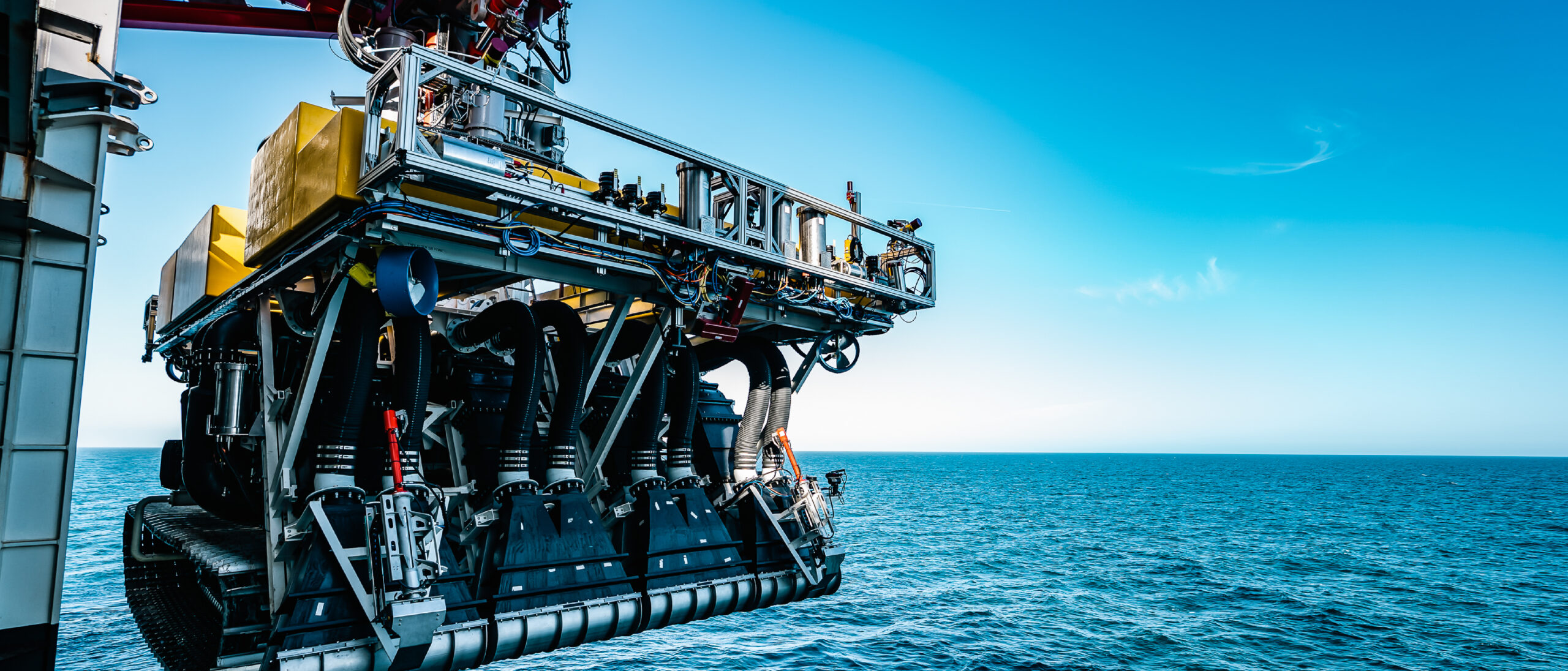
In parallel with the development of a seafloor nodule collector (Patania II) for use in the deep Pacific Ocean, the Belgian company Global Sea Mineral Resources NV (GSR) initiated the development of a new system – COMPASS – integrating different data sources to define an environmental monitoring strategy and a system that generates the most optimal mining path that aims to minimize environmental effects, Johan Heiler, Head of Technology and Operations at Global Sea Mineral Resources, and co-authors explain in their abstract for Deep Sea Minerals 2022, 25-27 October, in Bergen.
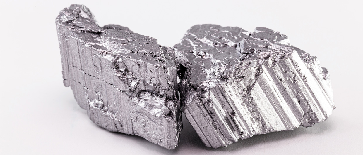
GSR holds an exploration contract with the International Seabed Authority (ISA) to explore for polymetallic nodules on the seafloor of the Clarion Clipperton Zone (CCZ) in the Pacific Ocean. The reason for this interest, the authors claim, is that the Pacific Ocean nodules contain more nickel, cobalt, and manganese than all land-based reserves combined (Hein et al., 2020).
DEEP SEA MINERALS 2022
Bergen, October 25-27
In the spring of 2021, GSR successfully tested its pre-prototype Patania II at 4,500 m water depth in the CCZ. By collecting nodules, these in situ trials provided valuable information for operational and technological purposes.
In 2017, in parallel with the development of GSR’s nodule-collecting vehicle Patania II, GSR initiated the development of COMPASS. In 2021, the environmental impacts and effects of collecting nodules from the deep seabed were therefore monitored as well.
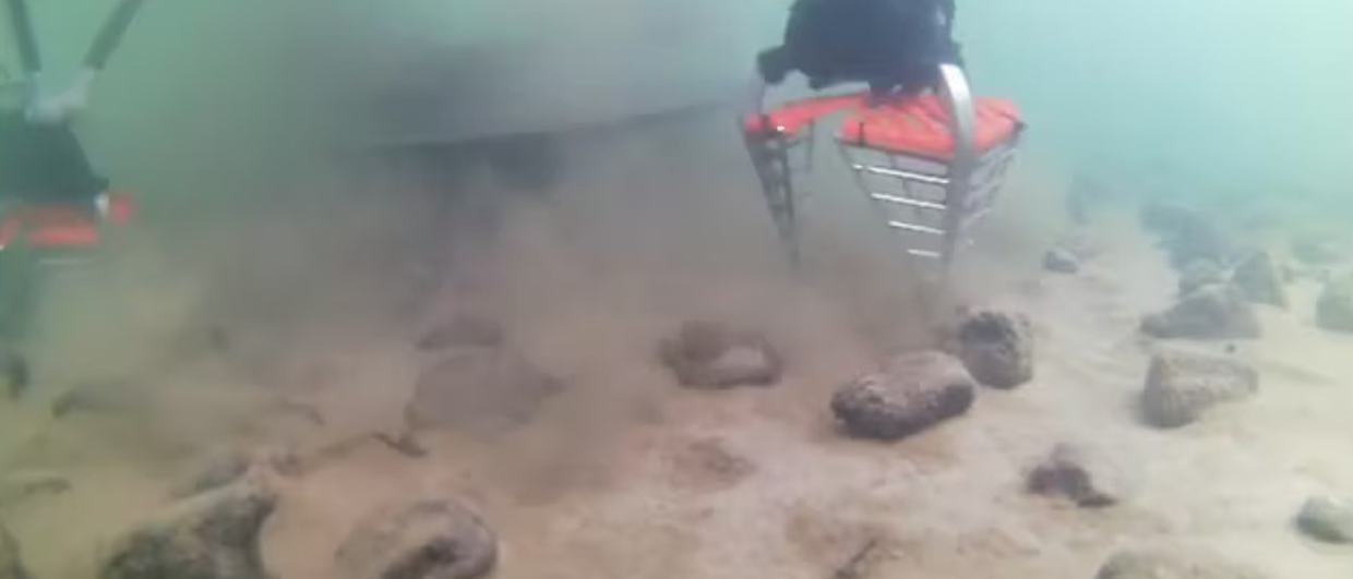
The trials with Patania II have confirmed that the environmental effects will not only vary with the bathymetry and seafloor currents at a certain location but will also depend on operational choices such as the mining path.
COMPASS’ main objectives are to
(1) define and implement the environmental monitoring strategy during exploitation using Best Available Techniques, and
(2) develop a system that generates the most optimal mining path taking into consideration the (in)direct impact (e.g., sediment plumes) and the technical and operational limitations with a specific aim to minimize environmental effects to the extent possible.
“COMPASS is an adaptive overarching system, integrating different data sources, such as the environmental baseline data with bathymetrical and geotechnical measurements. Subsequently, another layer of information is superimposed, consisting of actual oceanographic and turbidity measurements, as well as the operational data of the mining system itself,” GSR says in their abstract.


