Seismic survey identifies two potential reservoirs for geothermal energy in Belgium
Subsurface consultancy Hita also suggests that 3D models can help reduce the risk for induced seismicity.
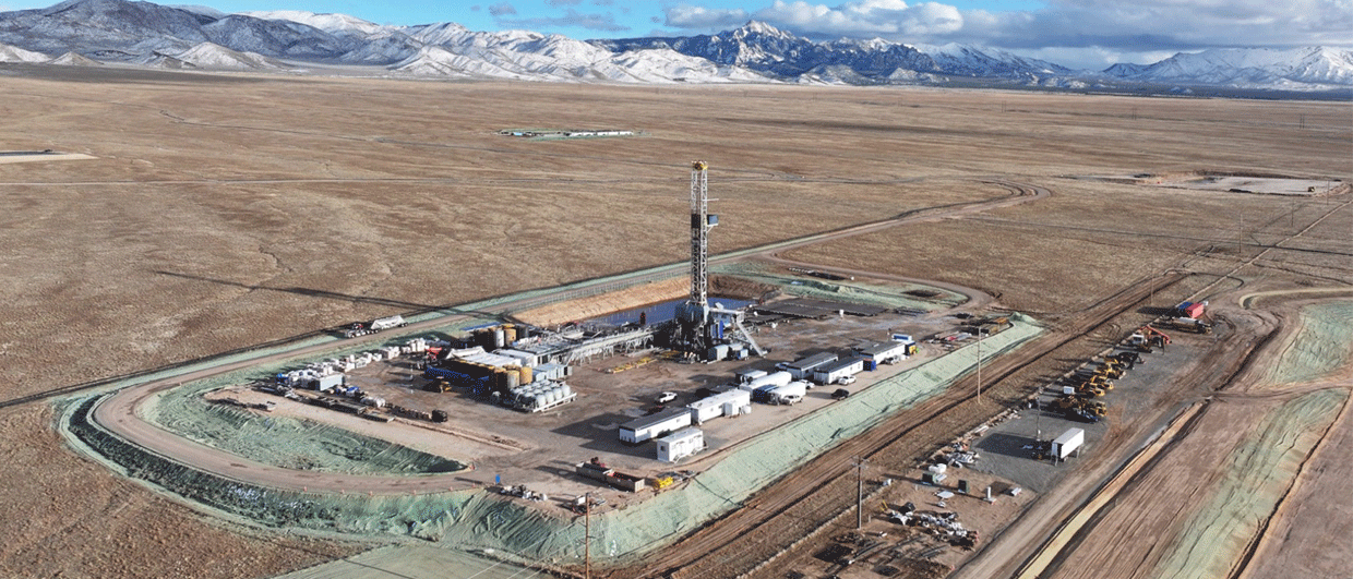
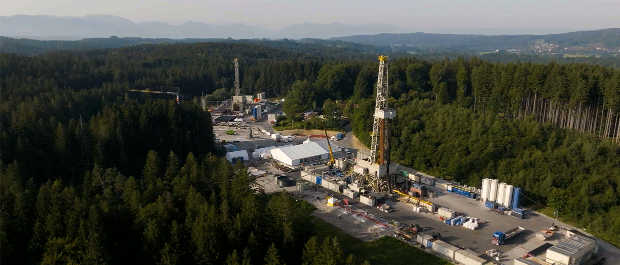
Belgian media outlet VRT last week reported that the results of an extensive seismic survey acquired in the area of Lommel – Belgium- by Hita point to the presence of two potential reservoirs to extract geothermal energy from. The article does not mention the stratigraphic ages of the reservoirs, but notes that the depths of the two intervals are between 1.1 and 1.6 km and at 4 km.
Based on the geological setting of the Campine Basin – which is summarised in this well-illustrated report – it is likely that the shallow reservoir represent a series of Upper Carboniferous sandstones, whilst the deeper interval represents Lower Carboniferous platform carbonates (the article does mention “kolenkalk, which is the name often given to Lower Carboniferous limestones in this part of the world).

Given the level of geological knowledge on the Campine Basin, the seismic survey was probably not required to identify these reservoir intervals, if a sandstone can be proven by seismic data alone in the first place. The regional understanding of the area is such that the presence of these reservoirs could have been predicted without new work done.
Seismic characterisation
Probably a more important reason to carry out the seismic survey is the subsurface characterisation of the Lower Carboniferous carbonates. This succession has previously been targeted for geothermal energy production a few kilometres further to the west (Mol), but due to induced seismicity related to water production and injection, the project was decided to put on hold temporarily.
It could be that a new geothermal system into similar carbonates may have a higher chance of success when positioned as far as possible from faults dissecting the limestones.
On the other hand, that may then reduce the permeability of the succession, as it is faults that could be controlling the density of fractures. This paper published in the Netherlands Journal of Geosciences last year reports on an FMI study in which the authors suggest that the proximity to faults is likely to cause a higher frequency of fractures in the Campine Basin.
Another feature the seismic survey may be shedding more light on is the presence of potential karst features at the top of the Dinantian carbonate succession. This concept has already been proven in Belgium where gas storage takes place in such a setting (Loenhout).
The Lower Carboniferous limestones of the Campine Basin may well be posing a challenge between the dependency of faults for fluid flow, but thereby the increasing risk for induced seismicity. This also underlines the need to create a proper 3D model, as the news article alluded to, in order to mitigate against the risk of induced seismicity and potentially highlight karst zones. Maybe the shallower Upper Carboniferous or even Cenozoic succession may be easier to tap into, at the expense of the temperature of produced water.
HENK KOMBRINK