A needle in a haystack
High Resolution 3D Geophysical Characterization is required to better image distribution of Deep Sea Minerals.
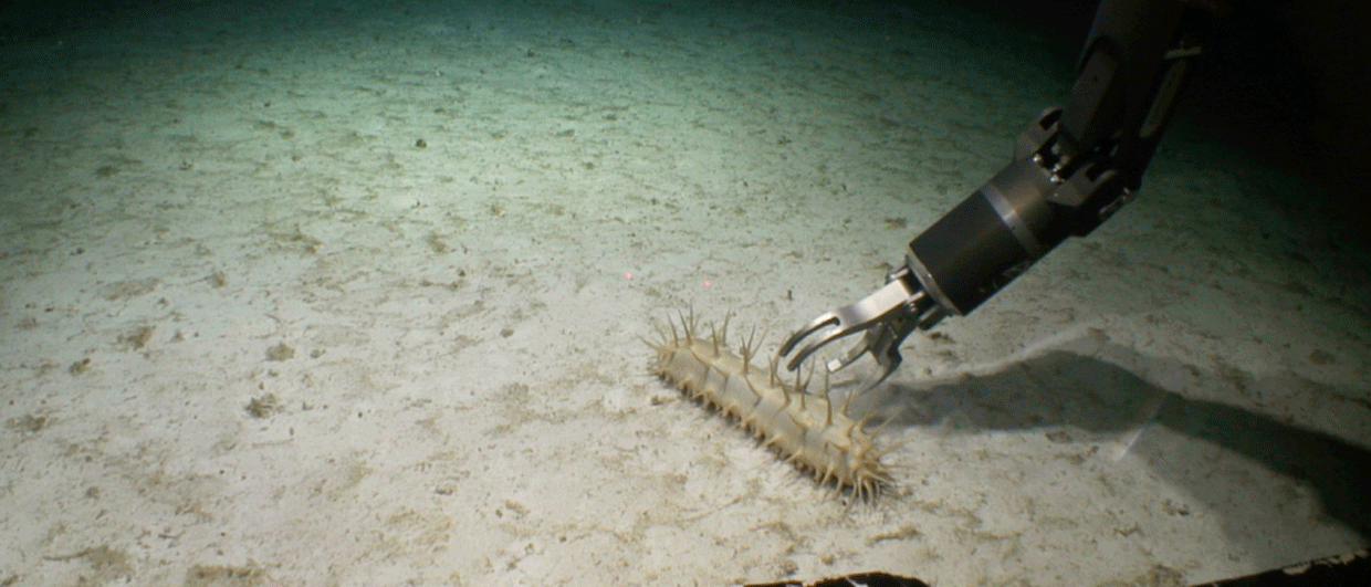
“How to find and remove a needle from a haystack without disturbing it?” That’s the key question when it comes to sustainable exploration for deep-sea minerals. It requires non-invasive methods to ensure minimal impact on the environment.
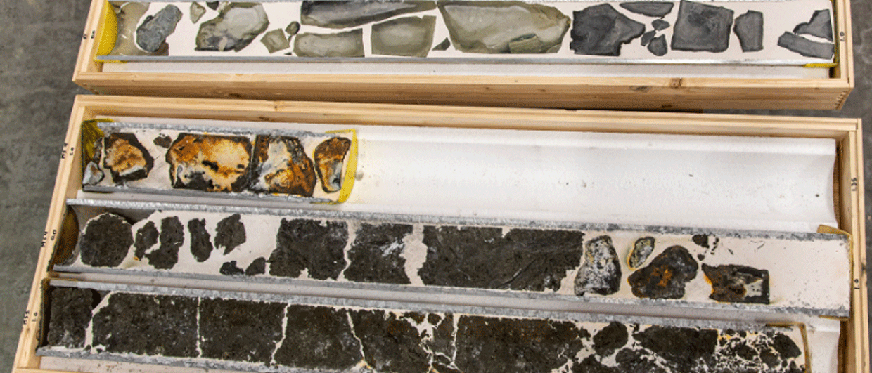
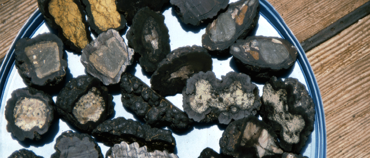
Especially in the case of Seafloor Massive Sulphide deposits, which tend to be buried under a veneer of soft sediment, remote sensing methods such as geophysical techniques will be crucial to both regional as well as local exploration.
This is where the traditionally mostly oil and gas focused seismic acquisition industry comes in.
In a talk at the NCS Exploration – Deep Sea Minerals Conference in Bergen, Norway, October 19-21, Allan McKay from PGS will give a talk entitled “Find the Needle without Disturbing the Haystack: High Resolution 3D Geophysical Characterization of Deep Sea Minerals” on October 21st.
Whilst exploration for deep-sea minerals has been undertaken for some time, the exploration workflow will need to be scaled up to enable efficient operations.
It is likely that exploration will proceed in a similar fashion to oil and gas exploration, with the early phase comprising large scale reconnaissance surveying to identify sweet spots, followed by more focused surveying and monitoring to characterize given sites in more detail.
However, no single measurement or datatype can provide all of the information required about e.g., the water column, sea-floor and the sub-surface. Therefore, a multi-physics approach is required.
See also: The Need for a Multiphysics Approach
Autonomous Underwater Vehicles (AUVs) are an ideal sensor platform to enable acquisition of a suite of geophysical (e.g. acoustic, magnetic and electric) and geochemical data. At the same time, AUV-enabled data acquisition alone may be too slow and in-efficient to enable large-scale early phase exploration.

Working in the oil and gas industry has helped cross this bridge between site specific and regional surveying, mapping, and characterization. For instance, recent advances in marine seismic acquisition have enabled quality – 3D data resolution – to be maximized without sacrificing efficiency.
It is this kind of approach that is needed to tackle the next frontier: to image and characterize the acoustic and elastic properties of the deeper subsurface and subsequently modify and scale it to enable characterization of the shallow subsurface in a wide range of water depths.