4 seismic surveys in one
Lundin Energy uses unique seismic acquisition approach to better image the North Cape Basin subsurface in the Barents Sea.
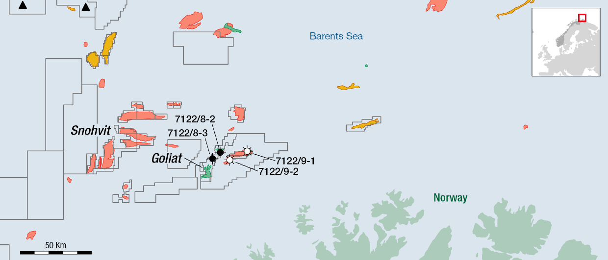
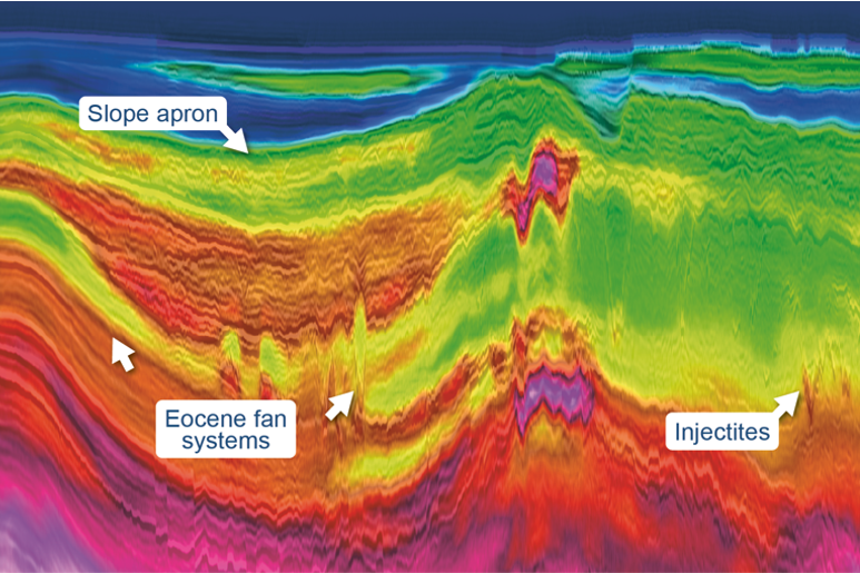
The subsurface of the North Cape Basin in the Barents Sea is full of salt that has formed diapirs in places, even creating overhangs. “Therefore, significant local velocity differences occur,” explains Per Eivind Dhelie, senior geophysicist in Lundin Energy Norway who is heading up the work to acquire seismic data from the Barents Sea.
“To better image this challenging subsurface setting, we’re now going to use nearly all the tools in our seismic toolbox at the same time,” says Dhelie.
Two different types of signal sources will be used for this acquisition, and two different methods of registering the signal reflections. That will result in four sets of data that can be put together to achieve an optimal imaging of the North Cape Basin subsurface.
TopSeis Technology
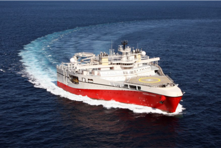
The basis for the collection of seismic data is an expanded version of the TopSeis technology. This method was developed based on an idea from Lundin’s exploration department, and involves using two vessels in tandem where the first vessel tows the streamers, while boat number two tows the signal source. More and better data can be collected by placing the signal source over the cables instead of in front of them.
“When using TopSeis, we’ve previously used 3 or 4 signal sources. Now we’re increasing this to 6 sources while simultaneously setting a record in width, with 437.5 metres,” says Per Eivind Dhelie. “And we’re also towing an extra signal source behind the boat in the front. This source will run relatively deep in the sea, and emit low-frequency signals.”
Learn about other exciting research Lundin Energy is involved in at the upcoming NCS Exploration – Recent Advances in Exploration Technology Conference (19-20 May 2021):
- Towards Papermill Analysis of Data from the Released Well Project – Utilizing the Power in Cuttings Data
- One-Click Processing for Interpreters
- Increasing the Value of the Edvard Grieg Field through 4D Seismic
1000 Nodes
The last and perhaps most unique part of this seismic collection exercise is the use of 1,000 specially-constructed receivers, or nodes, which will lie on the seabed collecting data. Laying nodes on the seabed is not a new thing. But they would normally be attached to long lines, or placed using an ROV. “We’ve found a much simpler and cheaper solution where we fasten a ‘pinger’ to each of the nodes, and quite simply toss them over board,” Dhelie explains. “Then we use a ‘pinger boat’ to locate them on the seabed.”
The seismic acquisition program in the North Cape Basin in the Barents Sea will take place this summer. Lundin Energy recently awarded a contract for the seismic survey to PGS.