Greenland Resource Assessment Project identifies promising leads in frontier onshore Greenland
Whilst the offshore area would require major investment to further de-risk, the onshore of the central West Greenland shelf could be more straightforward to explore.
In a study released by NUNAOIL, approximately 3,650 MMboe of risked recoverable hydrocarbons has been estimated in the offshore Disko area and the adjacent onshore Nuussuaq Basin.
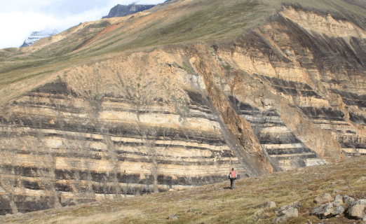
The areas, part of the central West Greenland Shelf, have enjoyed a few phases of exploration in the past, but so far, no commercial discoveries have been made. However, despite these historical drilling efforts, with six wells having been drilled offshore, the main Cretaceous play remains undrilled. Onshore, one well did penetrate Cretaceous reservoirs and found oil droplets in water samples – suggesting oil migration – but more research would be needed to pin down migration routes and mapping of drillable closures.
The aim of the Greenland Resource Assessment project is to provide an estimate of a quantitative, play-based Yet-to-Find potential of conventional hydrocarbons on the Greenland continental shelf. The project is mainly sponsored by NUNAOIL and is carried out as a collaboration between GEUS, NUNAOIL and the Government of Greenland hosted by GEUS. The results can be freely obtained through the Data Portal website.

Volcanics
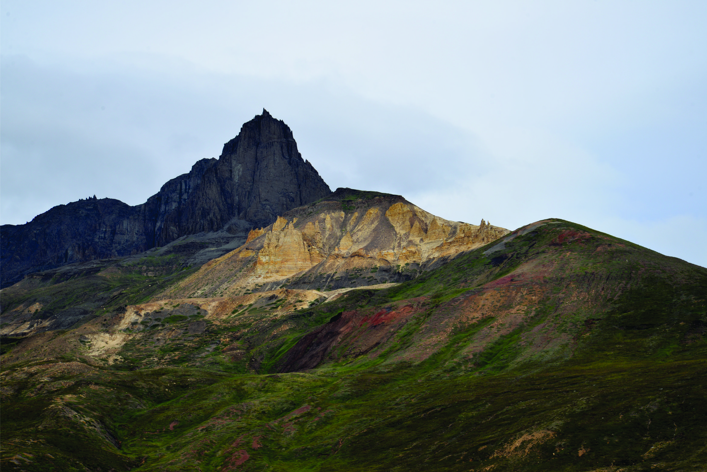
The main exploration risk in the area is a thick sequence of Paleocene volcanics that was extruded during sea-floor spreading that marked the onset of the separation between Greenland-Canada, following an initial Cretaceous rift phase. These volcanics severely hamper interpretation of the pre-volcanic succession and trap definition, even though the presence of a number of structural highs could be interpreted in the south of the offshore area.
Offshore exploration
Extensive basin modelling caried out for the project suggests that due to the thick volcanic succession, the Cretaceous and Paleocene sub-volcanic source rocks in the offshore are probably overmature. This was the main reason to identify charge as the main risk, which, together with the absence of mappable closures below the volcanic succession, means that any further exploration effort should at least be accompanied by a significant investment into seismic acquisition to map the geology below the volcanics. For this reason, offshore prospects have been assigned low risked volumes of less than 5 MMboe.
Onshore petroleum system more favourable
However, in the east of the onshore area (Nuussuaq Basin) petroleum system modelling does suggest that Paleocene and Cretaceous source rocks are mature, which is further corroborated by the fact that oil seeps have been found in the volcanic succession as well as outcropping Paleocene sands. In this part of the study area, trap definition was identified as the main risk, but given the indications of a working petroleum system, the report concludes that the onshore part of this study area provides the best chances for exploration success.

Q1 Lead
The most tangible lead in the onshore area is the so-called Q1 prospect on the Nuussuaq peninsula. In the absence of seismic data transecting the prospect itself, it was mapped on the basis of photogrammetry, leaving the key question if the closure also exists at depth. Looking at the seismic line pictured above though, which runs just south of the Q1 closure through the sea arm between the Nuussuaq and Disko peninsulas, a broad anticlinal structure can be observed.
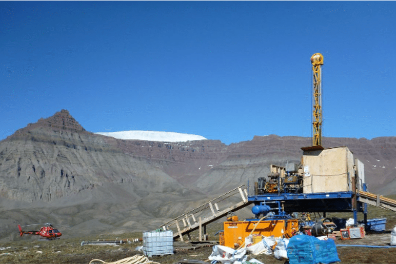
Well GRO#3 targeted the Cretaceous reservoir sands of the Q1 lead, but as mentioned above it was not drilled at the most favourable location. It is therefore not considered a valid test of the Cretaceous play.
To further de-risk the area and shed more light on the validity of the closure, either an onshore seismic campaign or an airborne eFTG survey would be the first steps to take before another well is to be drilled.
HENK KOMBRINK