Equinor to test reservoir potential updip of Agip gas discovery in Barents Sea
Jurassic and Triassic reservoirs form the main targets of the Spissa well spudded last week.
On November 3rd, Equinor spudded well 7018/5-1 (Spissa) in the SW Barents Sea in a search for hydrocarbons in the Troms Finnmark Fault complex. This is the second exploration well being drilled in this structural feature that forms the boundary between the Finnmark plateau in the east the Harstad Basin in the west.

Well 7018/5-1 is situated in PL960 and partners are Petoro (20%), Lundin Energy (20%) and Wintershall Dea (20%).
According to the Environment Agency, the main purpose of the Spissa well is to detect oil in the Realgrunnen subgroup of Jurassic age (Stø Fm sands) and to obtain data for mapping and better regional understanding of this part of the Barents Sea. The well will also investigate deeper reservoirs of Triassic age. It is also mentioned that the geological forecast for the Spissa area is uncertain due to poor quality of seismic imaging.
Concerns about CO2
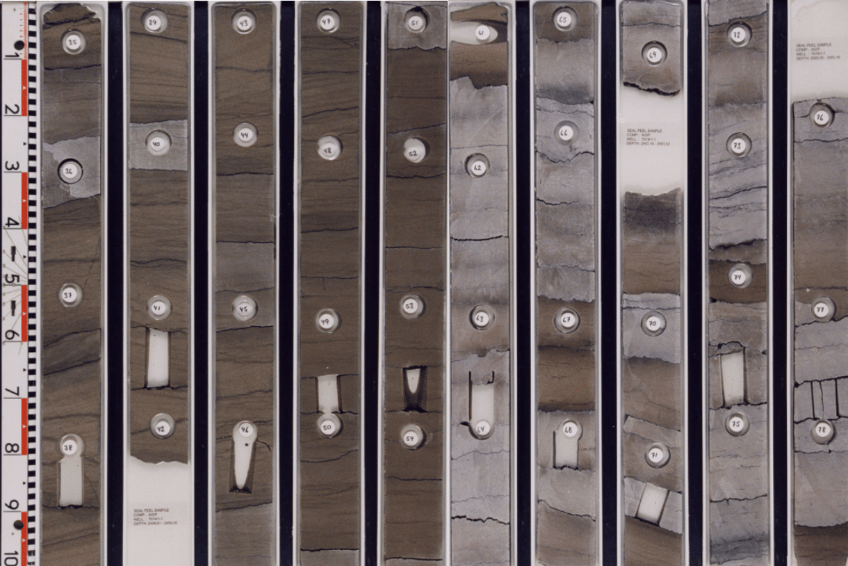
In 2000, Norsk Agip drilled well 7019/1-1 around 35 km to the northwest of the current well. It targeted Middle Jurassic Stø Fm sandstones, whilst Lower Cretaceous Knurr Fm sandstones constituted the secondary target. Gas was found in both reservoirs (gas-down-to in the Jurassic reservoir), with the well classified as a technical discovery. However, the gas contained 50% and 15% CO2 in the Middle Jurassic and Lower Cretaceous respectively.
Two scientific wells were drilled just to the south of the Spissa well; 7018/4-U-2 reached TD in the Paleocene at a depth of 360 m MD, whilst 7018/5-U-6 sampled the Lower Jurassic at a depth 475 m MD. It is unclear if traces of hydrocarbons were found in the 7018/4-U-2 well.
Structural trend
Torbjørn Ladstein Fjeld from the University of Stavanger performed his Master Thesis project in this area, mainly looking at Lower Cretaceous tectonostratigraphy. However, he also interpreted the top Stø Fm horizon as shown in the figures below. From the map, it is clear that the Agip 7019/1-1 well targeted the downdip area of the Jurassic reservoirs in the Troms Finnmark Fault complex, with the Spissa well being located much more updip.

No Lower Cretaceous reservoir expected
As the Agip well showed, Lower Cretaceous Knurr Formation sandstones form a potential reservoir in the area. Given that Equinor has not identified this interval as a target, it may indicate that the well is planned in a more updip part of a rotated fault block where these sands are more likely to be absent.
Altogether, the Spissa well is a well to closely follow as it has the potential to spark lots of interest in this underexplored area of the Norwegian Continental Shelf.
HENK KOMBRINK