How to justify not to drill a well when no well has been drilled before?
Identified by the government as an area of CO2 sequestration, the Geological Survey of Belgium had to demonstrate that the Belgian offshore does not offer potential.
The offshore of Belgium is small. It’s the smallest offshore area of all countries surrounding the North Sea. Yet, not a single deep well has been drilled so far. Because of the lack of “hard” data, geologists of the Belgian Geological Survey needed to use onshore well and offshore geophysical data to arrive at a recommendation with regards to the feasibility of CO2 storage in the area.
Whilst across many parts of the North Sea wells have been drilled by oil and gas companies that can be used to provide information on the presence of suitable reservoirs, the Belgian offshore does not present that luxury. This is all because of a feature that geologists describe as the Brabant Massif, named after the former province of Brabant.
The Brabant Massif is a Lower Palaeozoic structure consisting of Lower Cambrian to Upper Silurian rocks. The rocks of the Brabant Massif were deformed by the long-lasting Silurian to Middle Devonian Brabantian Deformation event, mainly resulting in folding and cleavage development.

Because of its concealed nature, maps of the Brabant Massif to a large extent relied on borehole data. In turn, until recently most of the maps dedicated to the extent of the Brabant Massif only showed the onshore extent of it.
No interest from the oil industry
Despite the lack of detailed geological maps of the offshore extension of the Brabant Massif, geologists have long known that it continues in a northwest direction and links with a similar structure mapped in England. Together this unit is described as the Anglo-Brabant Deformation Belt or London-Brabant Massif. It is because of this knowledge that oil companies never took serious interest in drilling a well in the Belgian part of the North Sea, as it forms the dominant structure in this small area and a working petroleum system does not exist.

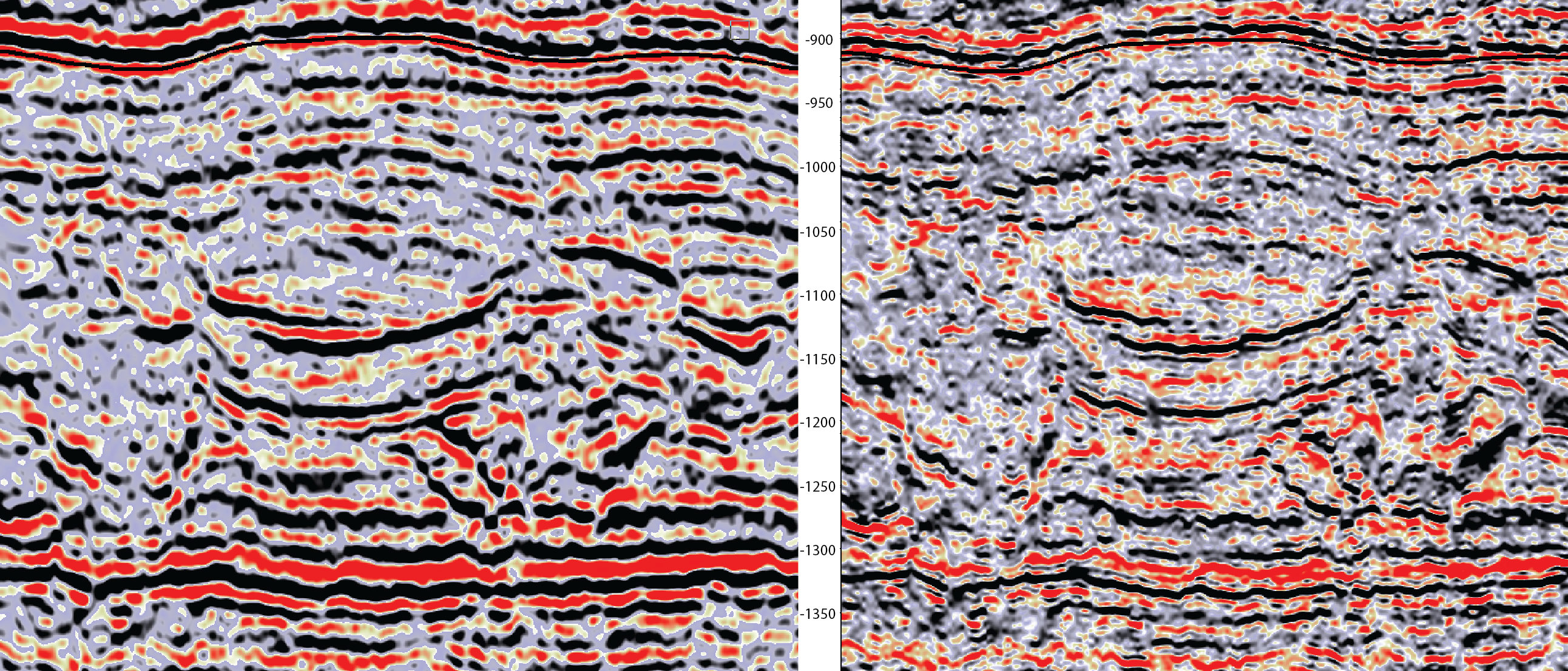
So, in the light of the absence of detailed offshore maps, it is not a surprise that it became very relevant to compile one as the question around CO2 storage sites was being asked from a societal point of view. Based on aeromagnetic and gravimetric surveys and seismic lines acquired in the period 1980-2002, Kris Piessens and co-workers from the Royal Belgian Institute of Natural Sciences (Geological Survey of Belgium) got to work and produced a detailed map which indeed did show how the Brabant Massif extends offshore.
Although the lack of boreholes did not allow differentiation of all fifteen Paleozoic formations mapped onshore, the geophysical data did permit differentiation between the Cambrian, Ordovician and Silurian units. The resulting map is presented above.
CO2 storage assessment
Having mapped the extent of the Brabant Massif offshore and also the thickness of the overburden, an assessment of the likelihood of these strata to act as a reservoir and seal was addressed next.
Given the fact that the overburden is only of 650 m thickness maximum, it could immediately be ruled out as a candidate for CO2 storage, as CO2 will normally be stored at supercritical conditions and that requires reservoirs at depths of 800 m and more. Therefore, the Lower Palaeozoic succession was the only candidate left.

The central axial zone of the Brabant Massif, which mainly consists of heavily folded Cambrian formations, could be quickly discarded, although the presence of reservoir rocks is likely. Due to the steeply dipping layers, CO2 storage can be considered too risky as even rare intercalations of permeable strata will ensure a migration pathway for the injected CO2.
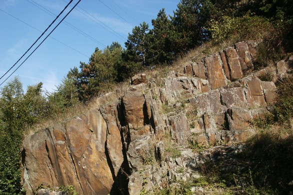
The zone surrounding the axial Cambrian interval consists mainly of Ordovician and Silurian strata. Based on fieldwork in the onshore area, reservoirs of sufficient thickness and quality are probably rare in this interval. Equally, the sealing capacity of these strata is limited given its heavily fractured nature. The presence of these fractures is well demonstrated onshore by the higher production of ground water in narrow zones.
Finally, the rocks of Silurian age are in a more gently dipping and undulating configuration, and faults may be less abundant. However, reservoir rocks have to date not been identified in this interval. So even in case there may be some structural traps in this succession, the absence of reservoirs and the likely presence of fractured zone also excluded this interval as a candidate.
This led the researchers to conclude, based on a sensible extrapolation of onshore observations, that the Belgian offshore is highly unlikely to be a suitable area for sequestration of CO2.
HENK KOMBRINK