Using gravimetry for cost-cutting reservoir monitoring
Gravity and subsidence surveys of producing reservoirs can deliver better results at a cost of ten per cent of seismic surveys.
“In some fields, ocean bottom gravity and subsidence measurements are working better than seismic surveys at a fraction of the cost when it comes to reservoir monitoring,” said Hugo Ruiz, Vice President G&G at the Bergen-based company OCTIO Gravitude AS.
Ruiz spoke at The Biennial Geophysical seminar 2020 hosted by Norsk Petroleumsforening (NPF).
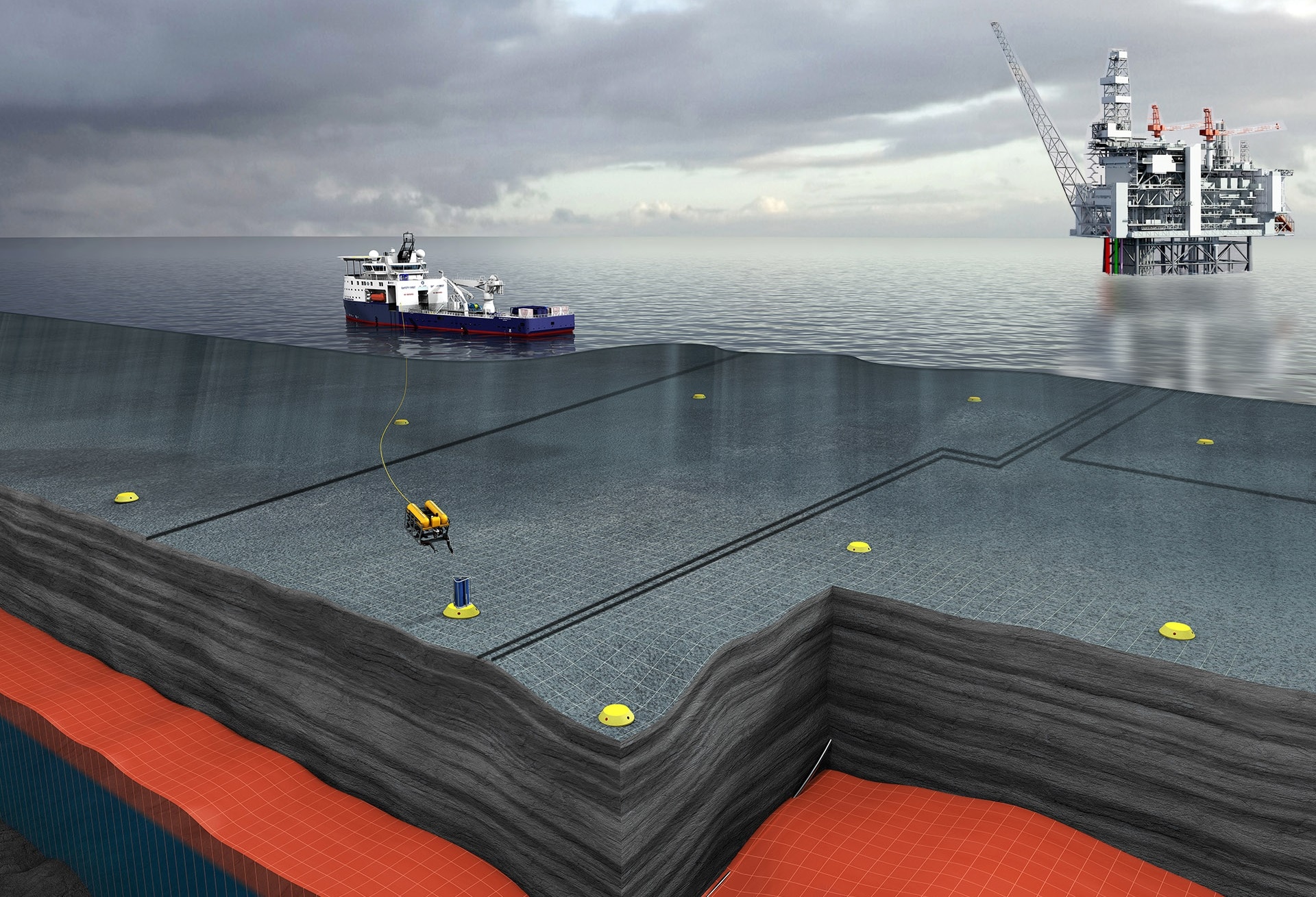
Gravity and subsidence measurements are two independent and complementary monitoring tools, acquired during combined surveys.

Gravity measurements (gravimetry) gives the operator information on mass changes within and outside the reservoir such as the depletion of hydrocarbons, water influx from aquifers and vertical changes in the water-hydrocarbon contact. It also distinguishes the driving mechanisms for production such as gas expansion, reservoir compaction and aquifer support.
Seafloor subsidence, on the other hand, is sensitive to reservoir compaction and hence to pressure drop and pore compressibility throughout the reservoir.
OCTIO Gravitude’s solution consists of periodical surveying of the seabed. In order to ensure repeatability in the measurement location, small concrete platforms are deployed on the seafloor some months prior to the first measurement campaign.
During each survey, OCTIO Gravitude utilizes a vessel and an ROV to place their sensor frame, gWatch, on each platform for 15 minutes. The sensor frame contains three relative gravimeters, that provide measurements of the gravitational field, and three pressure sensors, that are used to accurately quantify subsidence.

This cost-effective method costs approximately ten per cent of a seismic survey, according to Ruiz.
“There are several applications for each of the measurements. Minute changes in gravity over time can, for instance, provide information about how water flows into a producing reservoir or help to locate undrained hydrocarbon-filled compartments.”
Ruiz also pointed out that gravity data has a linear relationship with the mass changes occurring in the reservoir, meaning that volumes of hydrocarbon and water can be quantified accurately.
Subsidence measurements are obtained after advanced processing of the pressure data and provide information on how the reservoir compacts because of pressure depletion. This is useful for knowing how a reservoir is being drained and the data may also be useful for installation safety and improving geomechanical models.
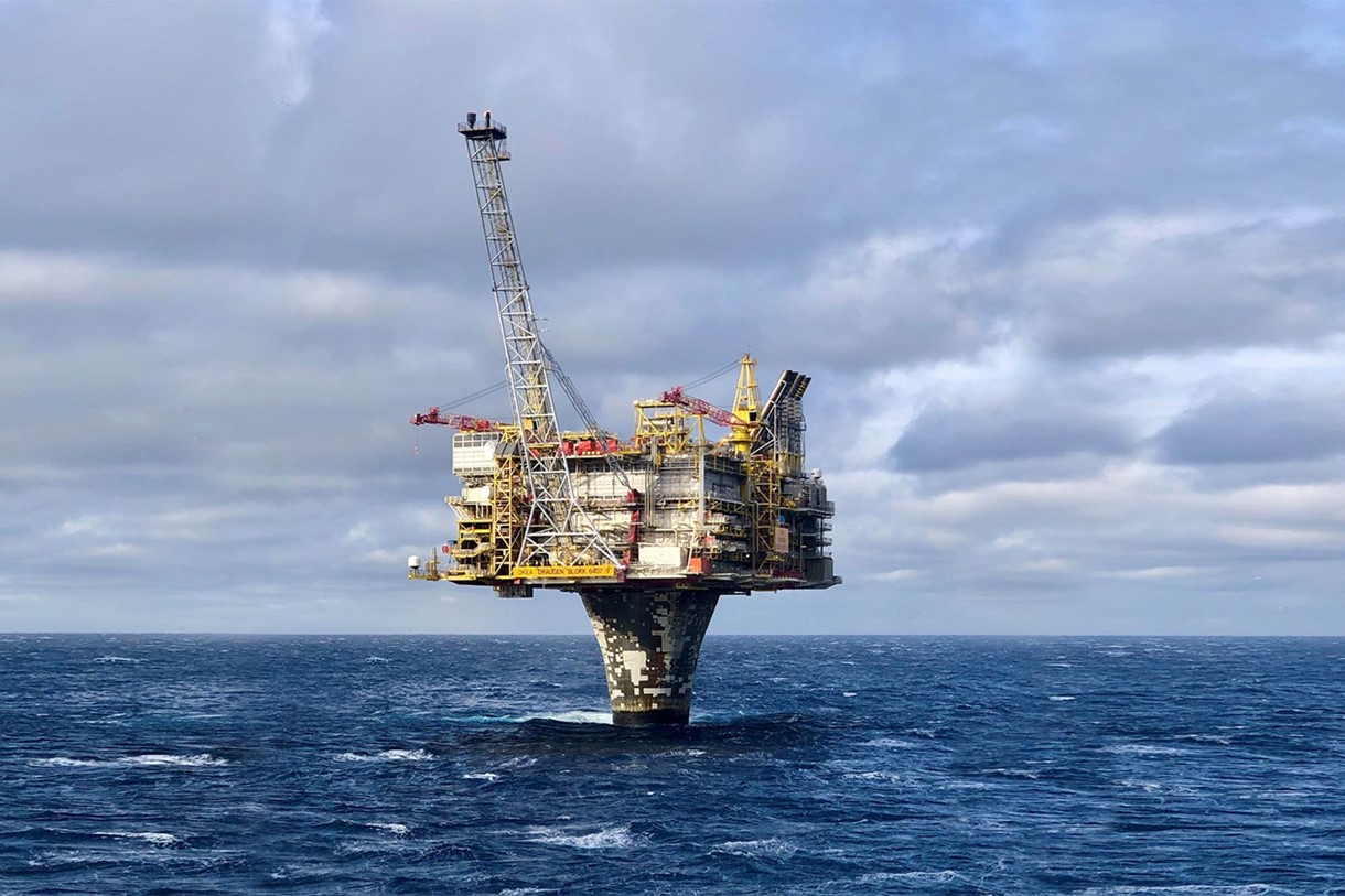
According to Ruiz, the gravity and subsidence measurement technology have been utilized on ten producing fields on the Norwegian Continental Shelf (NCS), including the Ormen Lange, Midgard, Mikkel, Statfjord and Aasta Hansteen fields.
The first application was done on the Troll field in 1998 and allowed the operator to understand compressibility and aquifer support in the reservoir, as well as improving the prediction on water break-through in wells.
The surveys in 2019 at Snøhvit, Askeladd and Albatross demonstrated the impact in sensitivity of the new generation of the sensor frame. The noise level for gravimetry has been reduced by a factor of five since the first data acquisition at Snøhvit. The improved data quality allows for much more accurate interpretation of reservoir dynamics.
Another example is the Sleipner field where the technology was used to understand the properties of the injected CO2.
– Steady technological developments continue to make this technology even more cost-efficient, which in turn makes it feasible in a wider range of fields, said Hugo Ruiz.
RONNY SETSÅ