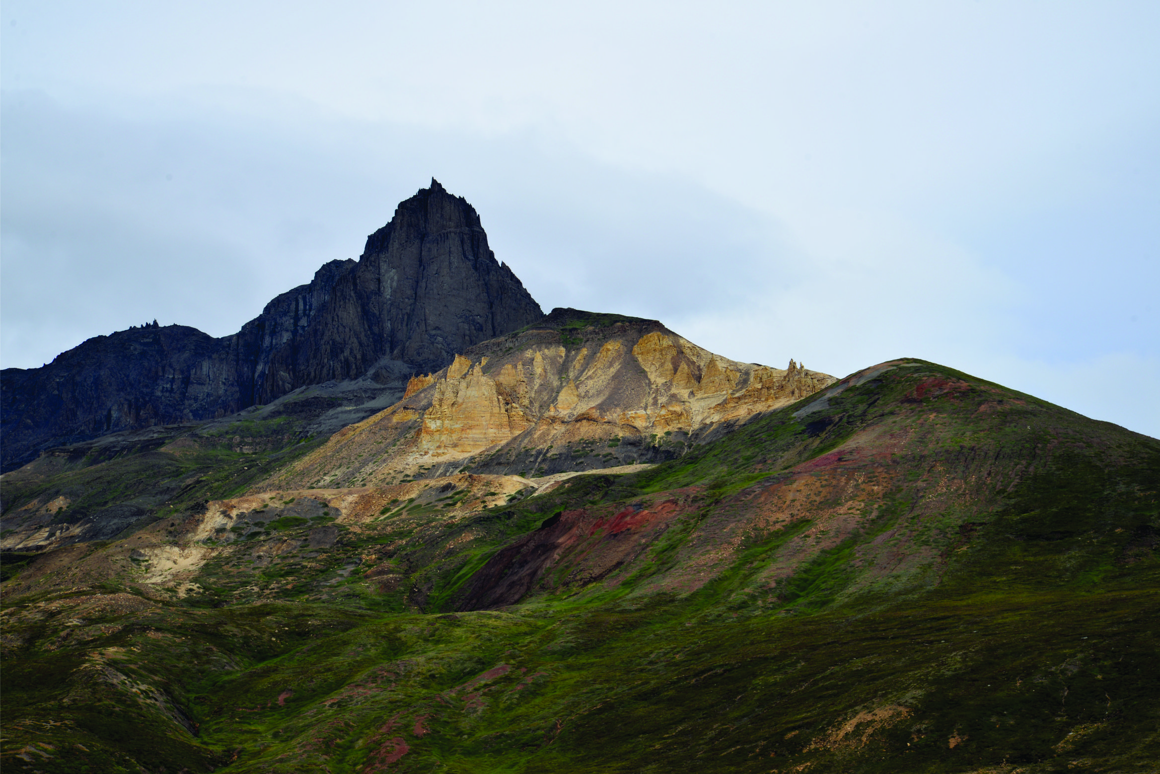
Large volumes to be found offshore Greenland
The first of seven areas, the Labrador Sea – Davis Strait continental shelf area is finalized, in the on-going resource assessment of the entire Greenlandic shelf.
The first delivery of the resource assessment project of the entire Greenlandic shelf in 2018 is now available to download for free for petroleum exploration companies.
The Greenland Resource Assessment team: Geological Survey of Denmark and Greenland (GEUS), NUNAOIL and Greenland Ministry of Industry, Energy and Research (MIER) have now launched the results from the first assessment unit, which is the Labrador Sea – Davis Strait continental shelf area, West Greenland (Assessment Unit 1).
Four play levels have been assessed, and an estimated mean of undiscovered, recoverable resources of 5,550 MMBOE risked is given, divided by a northern area 4150 MMboe, and 1400 MMboe for the southern area given as an average areal yield of the northern area due to low data coverage.
The four main plays are in the Early – Mid Palaeogene, Latest Cretaceous – Early Palaeogene, Late Cretaceous and the Mid Cretaceous.
The known prospectivity in the northern area includes 79 leads and 69 unevaluated features, the latter being fractured basement traps/Ordovician carbonates and stratigraphic traps
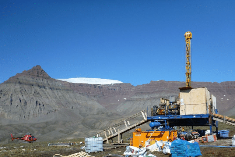
In the northern area, some exploration wells are drilled but no commercial hydrocarbon discovery has been made.
However, during drilling of the Kangâmiut-1 exploration well, the well took major gas kicks in Paleocene submarine fan sandstones. The presence of gas constituents up to C4 suggests that gas is moderately wet which could indicate that the hydrocarbons in the sandstone are condensate or possibly oil, according to the report summary.
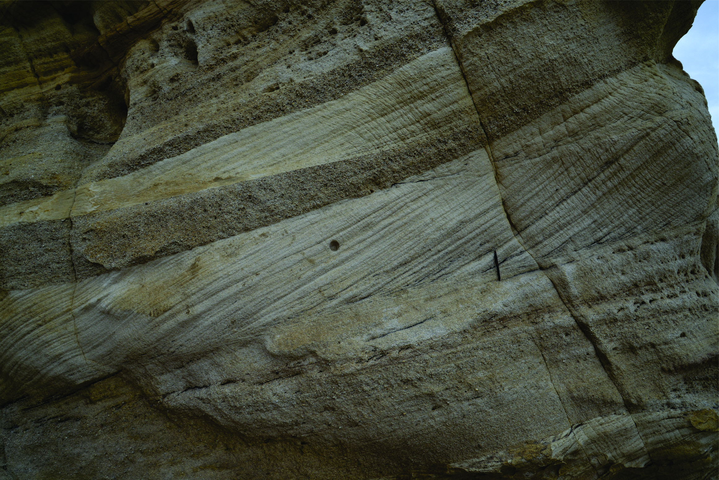
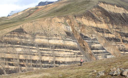
There are six levels of expected source rocks, from the Ordovician to the Miocene. Oil seeps are found onshore in the Nuussuaq Basin and there are gas discoveries on the East Canadian continental shelf in addition to the offshore exploration well Kangâmiut-1. These observations provide evidence that, at least in those areas, petroleum systems are or have been active.
According to GEUS, the aim of the project is to conduct a basin analysis, play risk analysis and resource assessment of seven assessment units (AU1-AU7) covering more than 2.4 million km2. This phased and systematic approach will ensure a full evaluation of all basins over time with timely results delivered to the companies prior to licensing rounds.
Due to large variations in data coverage, AU1 has been divided into a northern and southern part. The northern area is characterized by having very good seismic data coverage, eight exploration wells have been drilled, and it has been possible to carry out a full play analysis. In the southern area, the data coverage is extremely sparse and no exploration wells have been drilled.
The deliverables include a comprehensive database package. NUNAOIL in collaboration with the GEUS and MIER initiated this project back in 2018.

TERJE SOLBAKK