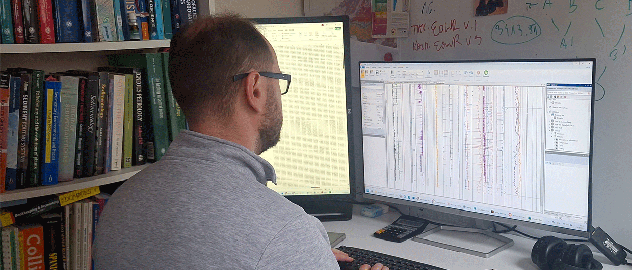
Analysing a large number of samples with the accuracy that can be achieved through QEMSCAN was not possible until recently, but with the advent of increasingly powerful computational abilities and further automation the technique can now be ranked amongst the new and promising ways to further decode the subsurface and its depositional and diagenetic history.
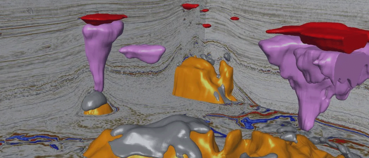
Seismic inversion
There are many lines of research this technique can be used for. Dr Jenny Omma, the co-founder of start-up company Rocktype that uses QEMSCAN in many innovative ways, is excited about the potential for multiple lines of research. “As an example, we are currently working on integrating our data with seismic inversion workflows to create seismic data that is better ground-truthed to the rocks and hopefully accelerate opportunity generation, particularly in novel plays.”
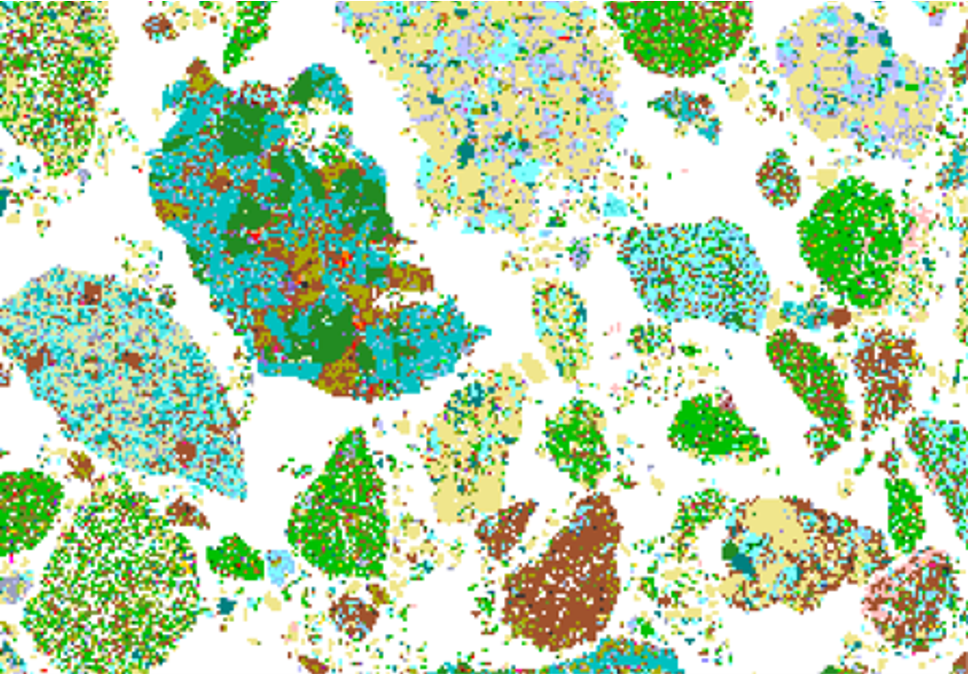
QEMSCAN® by FEI is an automated petrography system based around a scanning electron microscope (SEM). The addition of Energy-dispersive X-ray (EDX) spectroscopy detectors and an extensive mineral database enables the identification of minerals and other compounds in-situ.
The sample surface is scanned along a grid pattern, where each node is identified as a mineral, other compound or as pore space. The selected grid resolution defines a mineral map as a matrix of pixels, with each containing detailed chemical information.
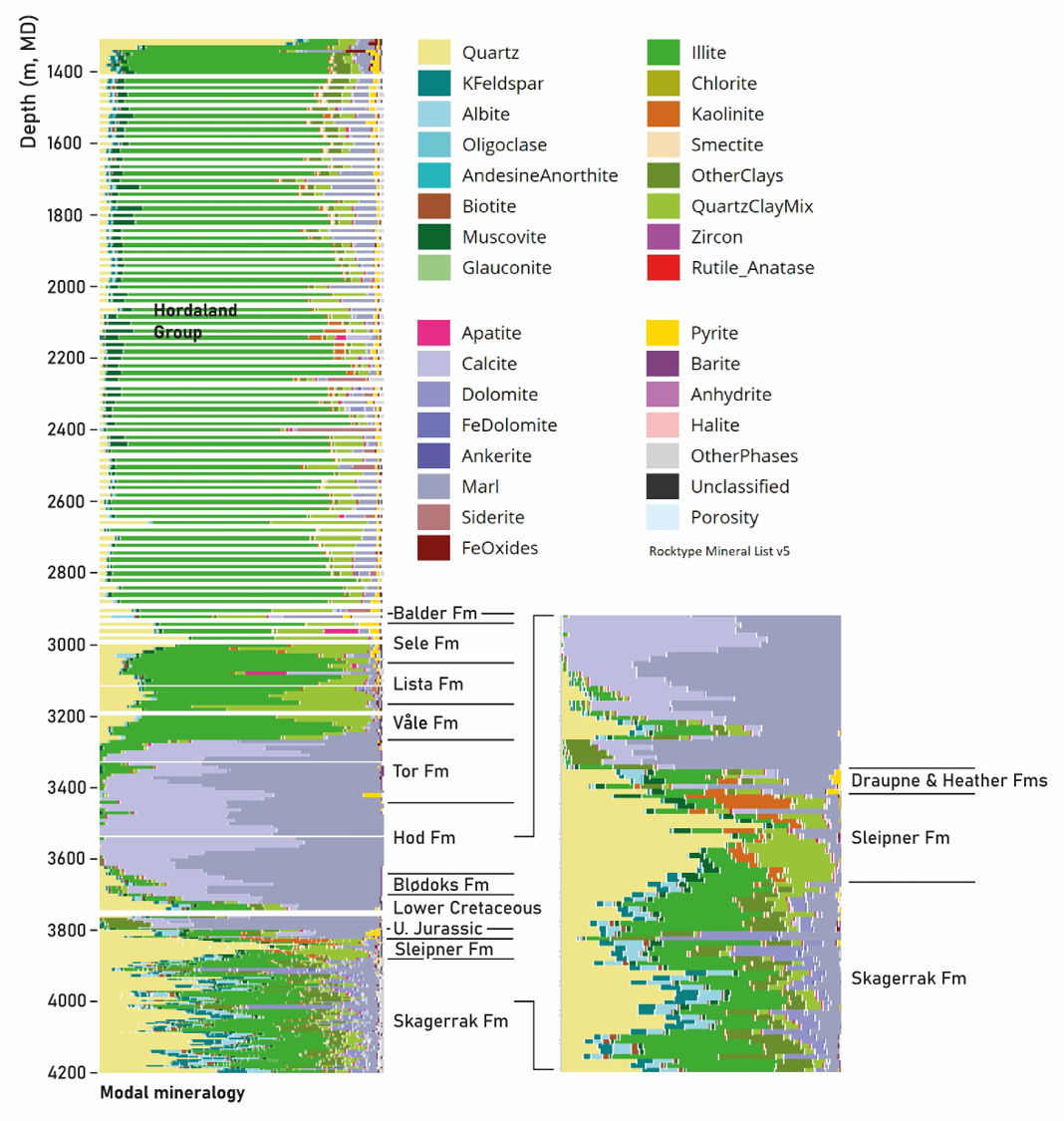
The example we will show in this article is how the QEMSCAN mineralogy from cutting samples from a single well can to the identification of a phase of uplift that would otherwise have gone unnoticed.
A geological QR-code
The well shown below is 15/12-20S that was drilled in the Varg field in the Central North Sea, close to the UK-Norway median line. The well lies on the eastern margin of the Central Graben and targeted an Oxfordian sand, but found oil in what was interpreted as the Middle Jurassic Sleipner Formation.
Looking at the overall trends starting from the terminal depth of the well, the Triassic Skagerrak Fm shows an alternation of fairly sandy but arkosic (feldspathic) intervals and more clay-rich sections.
The overlying Sleipner Formation shows a pronounced change in mineralogy with a sharp increase in quartz, a drop in feldspars and an increase in kaolinite. This combination of minerals can be explained by an exposure and leaching event and alteration of the unstable feldspathic minerals into kaolinite, a setting that is frequently observed in more humid and tropical climates.
Overlying the Sleipner is a thin succession of Upper Jurassic Heather and Draupne shales (look at the pyrites) before these are in turn overlain by more limestone-rich shales and marls of the Lower Cretaceous.
Hear much more about the potential of QEMSCAN at the upcoming DIGEX Conference next week, where Dr Jenny Omma will present about Big Data from Cutting Materials.

Middle Jurassic doming event?
It would be tempting to explain the mineralogical signature observed in the Sleipner Formation by the well-known Middle Jurassic uplift and erosion event that caused major parts of the North Sea to be subaerially exposed. However, the Sleipner Fm postdates this phase of uplift. Is there another period of exposure that led to what we see?
In that light, the paper published by Ailsa Quirie and co-workers (2020) is very interesting, as they suggest that in the area of the Rattray volcanics a Top Pentland Fm (Sleipner equivalent) hiatus can be observed in wells due to differential uplift and erosion of tectonic blocks during Late Jurassic rifting. Since the Varg field is very close to the Rattray volcanic centre, it seems plausible that it is the Top Sleipner unconformity we are looking at in the mineralogical data of this well.
We might not have been aware of this event in this location if we would not have had the continuous cuttings dataset that QEMSCAN provides, as it is perfectly legitimate to think that sedimentation was continuous from the Sleipner Formation to the overlying Heather shales.
This younger exposure surface may be important for modelling stratigraphic plays in the area and allows us to conclude that the QEMSCAN results in a single well provide an additional level of understanding that would otherwise not have been resolved.
HENK KOMBRINK