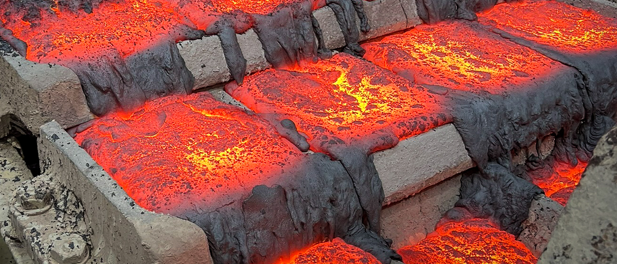
Seafloor Massive Sulphides (SMS) are one type of deep-sea mineral deposit currently being explored for as they often have high concentrations of metals.
“Typically found in water 1 to 4 km deep, they are usually only a few hundred metres wide and tens of meters deep. Generally, they form in clusters, some with seafloor expressions, while others are buried,” according to Matthew Kowalczyk in Canadian Ocean Floor Geophysics Inc (OFG).
OFG provides geophysics data acquisition, analysis and exploration services for sea floor exploration and characterisation, and Kowalczyk will give a talk at the forthcoming conference NCS Exploration – Deep Sea Minerals in Bergen, Norway, October 19-21.
OFG has demonstrated the advantages of fused data sets such as 3D magnetic and resistivity measurements and inversions, self-potential, bathymetry, side scan, sub bottom, water chemistry and seafloor conductivity. A model showing a subset of these data (magnetic gridded map, 3D magnetic inversion and bathymetry) for the Solwara 1 deposit, offshore PNG is shown below.

3D Inversion of magnetic field data acquired with magnetometer mounted on an AUV over the Solwara-1 SMS deposit. The green surface encloses an area of low magnetic susceptibility associated with magnetite destruction in the active hydrothermal system. Contour lines show seafloor bathymetry. Magnetic data courtesy Tivey et al., Woods Hole Oceanographic Institute.
“The difficulty in finding and then characterising SMS deposits, active and inactive, highlights the need for a methodical multiphysics approach to each exploration effort. This involves the use of surface vessel acoustic mapping, followed by higher resolution AUV data to identify the most prospective sites. Furthermore, a multiphysics approach, followed by a resource assessment using geologically constrained geophysical inversion methods, can provide an efficient and cost-effective path to finding SMS and developing them from deposits into mineral reserves,” says Kowalczyk.
geoexpro.com: The Metals Company, “Planning for Deep Sea Exploitation in 2024″
The multiphysics approach include acoustic surveying, magnetic surveying, electrical surveying (passive self-potential (SP) measurements or controlled source electromagnetic (CSEM) data collection) and gravity.
“An integrated model that brings all of this geophysical information together allows for a more complete understanding of the deposits and leads to insights and interpretations that are not apparent with disparate or incomplete data sets,” concludes Matthew Kowalczyk.

Combining the rich multiphysics dataset acquired allows a more complete understanding the hydrothermal system and sub-surface mineralization to be developed. Shown here, AUV data acquired in a single dive and integrated into a 3D model: sidescan sonar, MBES, SBP, 3D conductivity inversion model, water chemistry, 3D magnetic inversion model