Advancing Operational Efficiency
Halliburton fracs more wells than any other company. It is therefore hardly surprising that a Halliburton company, Landmark, is developing cutting edge tools to optimize the drilling of successful wells in unconventional reservoirs.
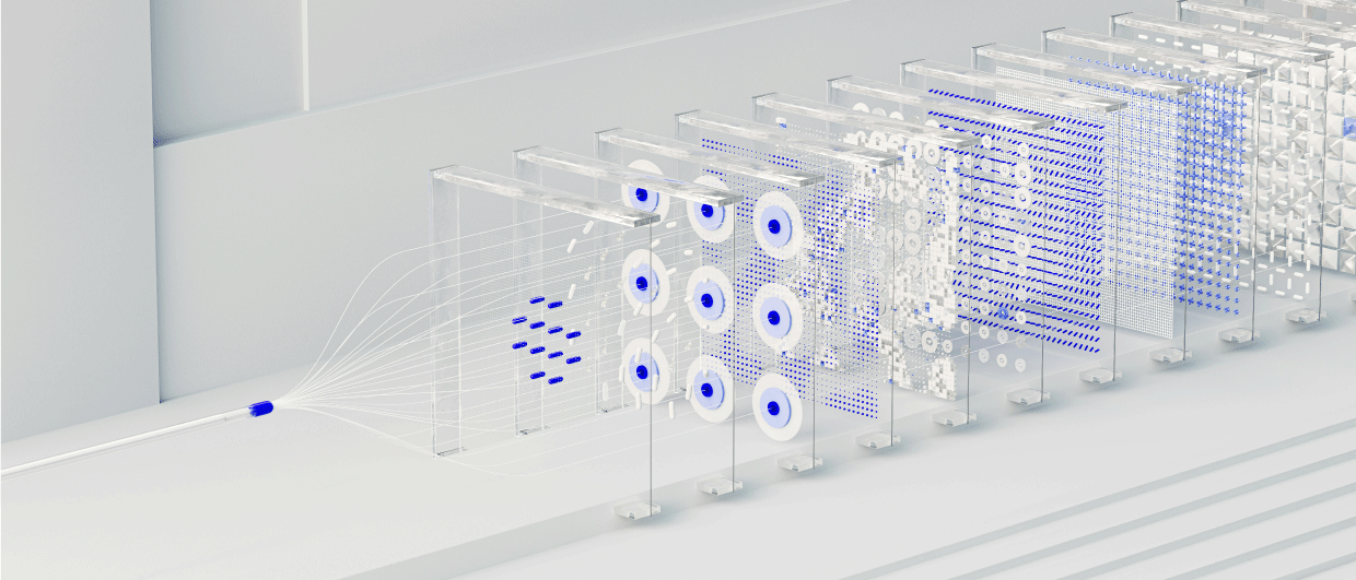
For many years, geologists, geophysicists and reservoir engineers all used different interpretive tools in their quest to discover new hydrocarbons, making it very difficult for them to work together in the teams that are often the key to successful exploration. In the last few years, however, these disciplines have been moving closer together and one of the leading integrated products available to the whole team within a single platform is Halliburton’s DecisionSpace® Desktop software.
“A key strength of our software is that it enables exploration at any scale,” explains Nick Purday, Director for Geosciences and Reservoir Technologies with Landmark Software and Services, part of the Halliburton Group. “Everything in the database is cartographically referenced, so a team can move seamlessly from basin scale investigations to the implications derived from a single well. All of the interpretations are saved to the OpenWorks® database, so every user can see and access live updates. In addition, the software can use data from any source and medium, including historical paper cross sections, all of which can be integrated into the digital domain.”
This software is continually in development, and recently added tools combine classic geologic concepts in sequence stratigraphy and structural geology with automated processes that enhance quality, efficiency and ease of use, in a technology known as Dynamic Frameworks to Fill™. “We believe this product is differentiated from similar tools because it operates through a sealed structural framework, built up continually as part of the interpretation rather than at the end of the process,” Nick explains. “This saves interpretation time and also forces you to think in 3D throughout the operation, as you seamlessly integrate seismic and well data, rather than working sequentially through tasks. And since all data are integrated within a single 3D framework, any change made to one geological feature, such as a fault or horizon, or the addition of a new well, dynamically cascades throughout the model, automatically updating every associated surface and interval attribute.”
Geosteering in Thin Reservoirs
 Comparison of planned and actual well positions. The lower tab is the Horizontal Well Correlation/Geosteering Window. In this view the predicted and real time logs are correlated leading to a revised well trajectory and updated 3D model. Source: Hallliburton
 A planned shale field development in DecisionSpace. The planned wells have been optimally placed for orientation, Z position and spacing using the DecisionSpace Well Planning tools. The surface platforms have been optimized to avoid hazards and minimize the number of platforms. Source: Hallliburton“Updating the 3D framework in real time also leads to improved accuracy during drilling activities,” Nick adds. “And this has resulted in the most recent exciting development in the DecisionSpace Desktop software: the addition of the ability to geosteer, which we believe will be of vital assistance in accurate drilling, particularly for horizontal wells in unconventional shale reserves.”
Nick likens the shale gas development life cycle, from initial exploration through appraisal and into the final production phase, to a factory assembly line, where the owner is trying to increase profit by eliminating inefficiencies and boosting production. “Low margins, very large numbers of wells and the requirement to link multiple geosciences and engineering workflows means it is our job to find ways to optimize overall operational efficiency,” he explains. “Drilling in real time with precise, intelligent geosteering enables the geoscientist to target the sweet spot and to react to the unexpected. We want to be able to predict the depth of a target reservoir ahead of the bit, and to revise both the geologic model and the well plan on the fly during geosteering operations.
“Using the DecisionSpace Desktop 3D view, the geoscientist is able to dive into the subsurface and see where each well lies within the formation. It is often easy to identify wells which have not been drilled using dynamic geosteering of the drill bit, as they can be seen to have come out of the formation in places – sometimes drilled too shallow, sometimes breaking through the base of the formation. This is especially critical in the thin reservoirs so common in unconventional plays. As new wells are drilled, the information gleaned from them is added to the database, dynamically updating the information on screen in both 2D and 3D.”
As a result, it is possible to compare planned and actual well positions and constantly adjust and optimize the field plan. Many such schemes, particularly in unconventional fields, are designed to cover the drilling of possibly hundreds of wells over a 10-year time period, and being able to identify where a well has deviated from the formation is critical. Comparing planned and actual well positions and adjusting in real time – “just grab and move,” as Nick says – means that the geoscientists back in the office are effectively talking directly to the drillers on the rig.
Interface for the New Generation
 A screen shot from the DecisionSpace Earth Modeling module, which integrates all the subsurface data into a 3D shared earth model. Source: Hallliburton
 Nick Purday is currently Director for Geosciences and Reservoir Technologies with Landmark Software and Services. His 19 years with Landmark have taken him from postings in London, the Middle East, Calgary, Denver and finally Houston. Nick is a strong advocate for volume interpretation and visualization, and he has pioneered the use of these techniques in a number of regions, as well as authoring numerous technical papers and articles on advanced interpretation techniques and workflows. He has a master’s degree in petroleum geology from the Royal School of Mines at Imperial College.Landmark is continually working on upgrading and improving its DecisionSpace software – and not just with new modules such as Real-time Drilling and Geosteering. After listening to user feedback and advice from specialists in contemporary software, it has recently introduced an updated interface which uses contrasts in light and dark backgrounds similar to that found in modern tablet platforms and e-readers. Modern technologies such as touch screen and pinch and zoom are also being investigated. The software is available through the Windows operating system as well as Linux.
Nick says that the feedback which Landmark has received from users of these new tools has been incredible. “Basically, the ‘Great Crew Change’ means that we do not have enough experienced geoscientists to steer all the wells we need. Customers who have tried this technology have indicated that the efficiency gains could have a significant impact on shale field economics.”